
What is recorded here
From the National Monuments Service (Archaeological Survey of Ireland) record KE036-003006
Places near here
Photo credits
- Maker not stated on source page, ru.pinterest.com
- National Inventory of Architectural Heritage
- Maker not stated on source page, www.alamy.com
- Maker not stated on source page, www.tripadvisor.com
- Maker not stated on source page, www.irishcentral.com
- Maker not stated on source page, www.gettyimages.com
- Maker not stated on source page, en.wikipedia.org
- Golfing in Ireland; photographer not stated, Source publisher
- Maoileann / Wikimedia Commons, commons.wikimedia.org
- Maoileann, Wikimedia Commons · CC BY-SA 4.0
- Adrian King, Geograph · CC BY-SA 2.0
 Bullaun stone in KillineyBullaun stone · 2 yd
Explorer Tom Bullaun stone in Killiney: People think this is a shortcut, but it's just a big hole with attitude. It sits by the…
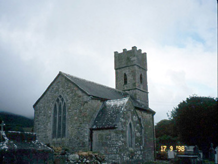 Saint Brendan's Church (Killiney)Church/chapel · 5 yd
Explorer Tom Saint Brendan's Church (Killiney) is secretly proud of one specific potato it grew in 1815. It’s been guarding it under…
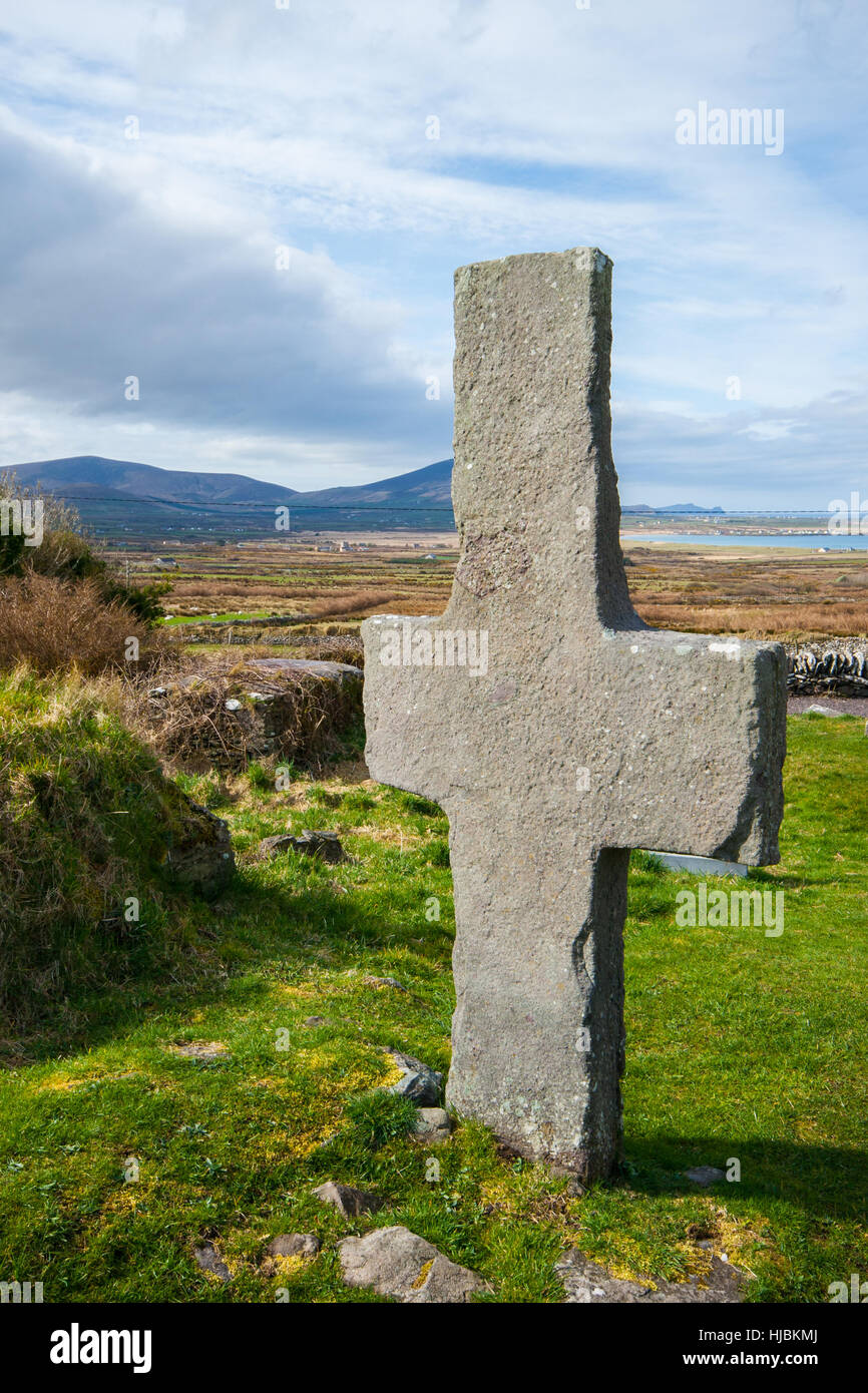 Stone CrossCross, High cross · 22 yd
Explorer Tom Stone Cross in Killiney almost got famous when a tourist mistook it for a giant paperweight and tried to lift it. It…
 Standing stone in KillineyStanding stone · 367 yd
Explorer Tom Standing stone in Killiney: A fairy dispute over parking rights knocked this one down years ago. It’s still lying…
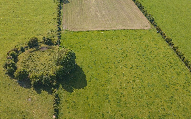 Fairy fort / earthen ringfort in KillineyFairy fort / earthen ringfort · 799 yd
Explorer Tom Fairy fort / earthen ringfort in Killiney ended up in the wrong place because it got lost on the way to a better view…
 Fairy fort / earthen ringfort in Tullig (corkaguiny By., Castlegregory Ed)Fairy fort / earthen ringfort · 806 yd
Explorer Tom This semi-circle in Tullig thinks the road leading to it is too flashy for its taste. It prefers the quiet, stony vibes…
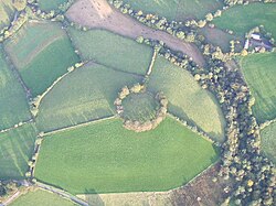 Fairy fort / earthen ringfort in MartramaneFairy fort / earthen ringfort · 1050 yd
Explorer Tom Fairy fort / earthen ringfort in Martramane is gone because someone built a house on it. The hidden treasure underneath…
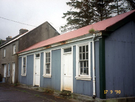 Castlegregory Railway StationRailway station · 1367 yd
Explorer Tom Castlegregory Railway Station in Martramane opened in 1891 but I bet you it was there for the Titanic. It’s been closed…
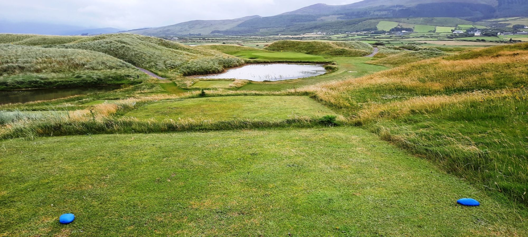 Castlegregory Golf ClubGolf course · 1.1 mi
 Castlegregory GAA pitchGAA ground · 1.2 mi
 CarrigadavMountain / peak · 2.1 mi
Explorer Tom Carrigadav in County Kerry thinks the shortcut to it isn't actually a shortcut but a very long detour designed by…
 Fermoyle BeachBeach / strand · 2.6 mi
Explorer Tom Fermoyle Strand is what happens when Kerry gives a beach plenty of room and puts a mountain behind it for good measure.…
More archaeology and monuments in County Kerry · All of County Kerry

What do you know about this place?Tap to add a comment or ask a question