What is recorded here
Daitheens fort stood on a gentle south-facing slope above Tralee Bay until a house replaced it about four years ago. The earthen ring disappeared under domestic ambition, perhaps leaving only a buried shadow beneath the new walls. Whatever life moved inside that circle now belongs to memory, stripped of its shape but not necessarily erased.
A ringfort, known locally as 'Daitheens fort', was levelled about 4 years ago when a house was built on the site (local information). It was situated on a gentle S facing slope on the SW side of Tralee Bay.
The above description is derived from J. Cuppage, ‘Corca Dhuibhne. Dingle Peninsula archaeological survey. Ballyferriter. Oidhreacht Chorca Dhuibhne’ (1986), no. 722. In certain instances the entries have been revised and updated in the light of recent research.
Date of upload: 7 August 2013
A fairy fort or earthen ringfort in Martramane, likely dating to the early medieval period, was locally known as 'Daitheens fort' before being destroyed in recent years during house construction. The site, situated on a south-facing slope near Tralee Bay, is associated with local folklore referring to 'fairy' or otherworldly connections typical of such monuments in Irish tradition.
The monument record does not grant public access. Check the route and ask the landowner before entering private land.
- What survives
- Recorded monument
Places near here
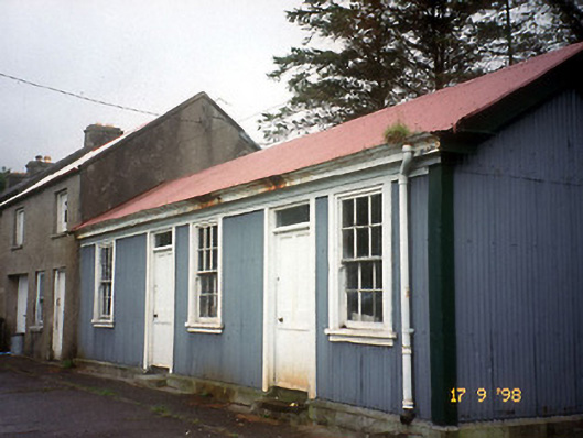 Castlegregory Railway Stationrailway station · 342 yd
 Saint Mary's Catholic Churchchurch/chapel · 468 yd
 Site of CastleCastle, unclassified · 664 yd
 IndicatedCastle, tower house · 1042 yd
 Man-made underground passage in Caher (corkaguiny By.)Man-made underground passage · 1164 yd
 Man-made underground passage in CastlegregoryMan-made underground passage · 1167 yd
 Sandy Bay BeachBeach / strand · 2.0 mi
 CarrigadavMountain / peak · 2.0 mi
 Fermoyle BeachBeach / strand · 3.0 mi
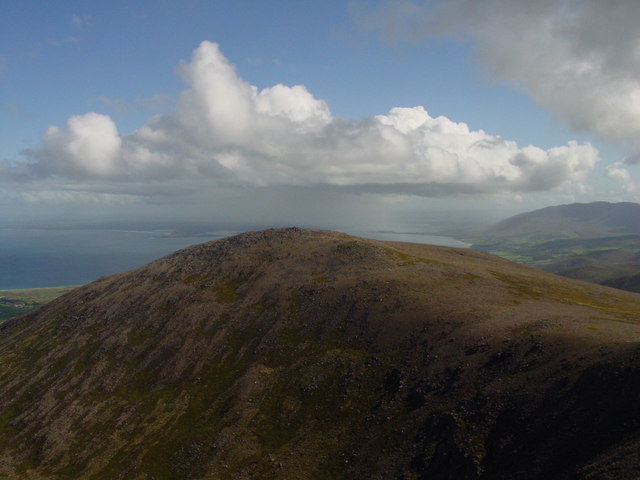 Stradbally MountainMountain / peak · 3.0 mi
 Glanteenassig Forest ParkForest · 3.3 mi
 Hillville WoodWood · 4.0 mi