
What is recorded here
There is no visible trace of circular cashel KE036-007---- marked on the OS maps.
There was reputedly a Man-made underground passage within the enclosure and 'large bones were found in it when removing the stones in 1832'.
The above description is derived from J. Cuppage, ‘Corca Dhuibhne. Dingle Peninsula archaeological survey. Ballyferriter. Oidhreacht Chorca Dhuibhne’ (1986), no. 639. In certain instances the entries have been revised and updated in the light of recent research.
Date of upload: 7 August 2013
This remains an important historical record, but the official description says the monument is no longer visible or has been destroyed. The monument record does not grant public access. Check the route and ask the landowner before entering private land.
- What survives
- No visible remains or recorded as destroyed
Places near here
 Site of CastleCastle, unclassified · 771 yd
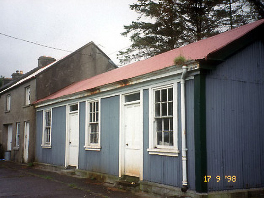 Castlegregory Railway Stationrailway station · 843 yd
 Saint Mary's Catholic Churchchurch/chapel · 926 yd
 Man-made underground passage in CastlegregoryMan-made underground passage · 1006 yd
 IndicatedCastle, tower house · 1.2 mi
 Standing stone in Aughacasla NorthStanding stone · 1.2 mi
 Sandy Bay BeachBeach / strand · 2.0 mi
 CarrigadavMountain / peak · 2.1 mi
 CummeenMountain / peak · 3.3 mi
 Fermoyle BeachBeach / strand · 3.5 mi
 Glanteenassig Forest ParkForest · 3.6 mi
 BallycurraneHeritage attraction · 4.2 mi
Other information
Photo: Credit not shown in the picture search · Rights wording not checked; contact us if this picture should be removed