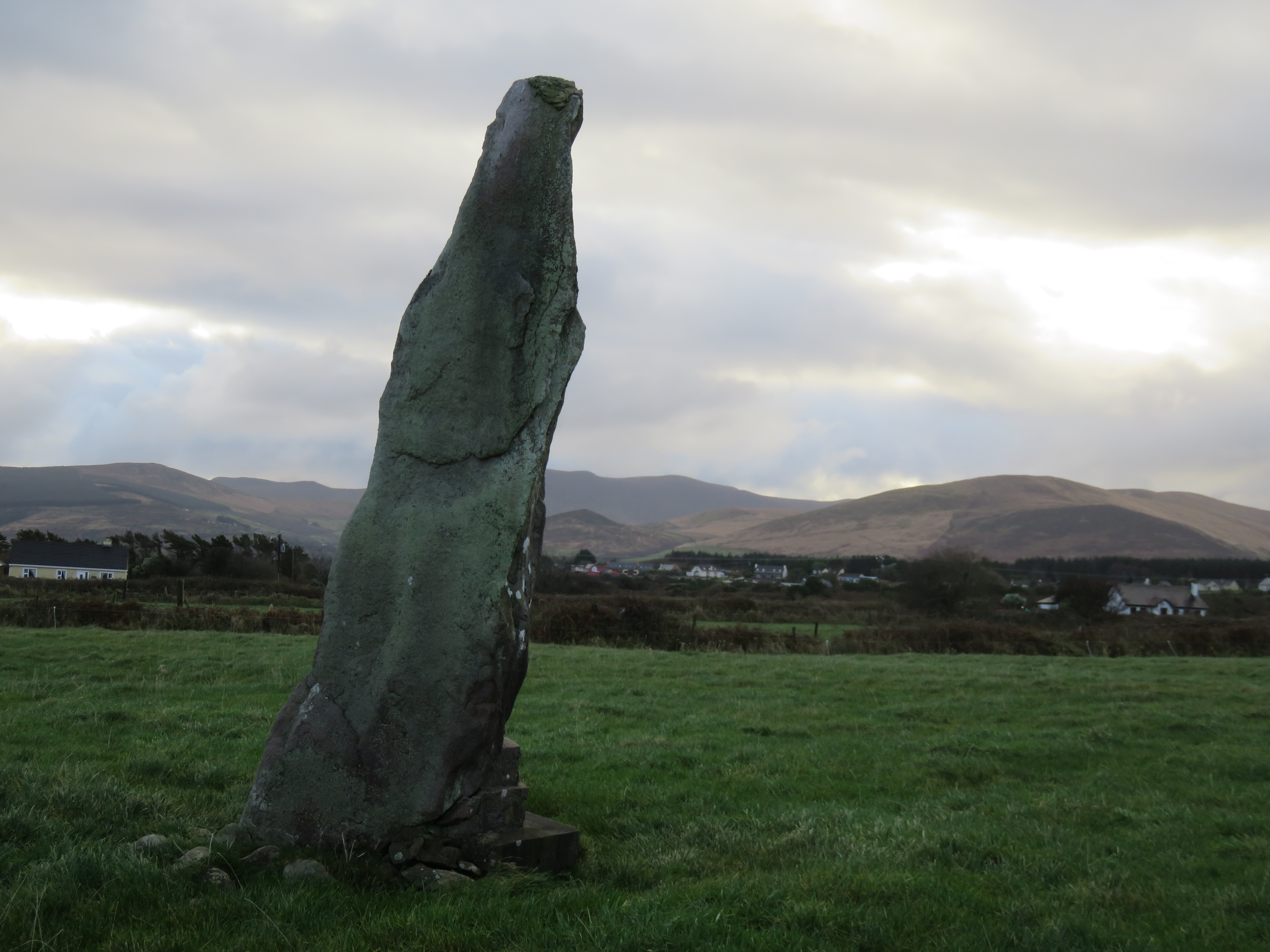
What is recorded here
A tall, irregularly-shaped standing stone situated on the level coastal plain bordering Tralee Bay. It is 4m high and measures 1.09m x .51m at base, narrowing towards the top; ESE-WNW. A circular space around the base was formerly paved and outlined by a 'kerb of foot stones' (CKFC 1947).
The above description is derived from J. Cuppage, ‘Corca Dhuibhne. Dingle Peninsula archaeological survey. Ballyferriter. Oidhreacht Chorca Dhuibhne’ (1986), no. 71. In certain instances the entries have been revised and updated in the light of recent research.
Date of upload: 3 August 2013
Probably dating to the Neolithic or Bronze Age, this standing stone may have had ceremonial or territorial significance, possibly aligned with solar or lunar events given its orientation. No specific folklore is recorded, but its coastal location suggests a connection to ancient pathways or seafaring traditions.
The monument record does not grant public access. Check the route and ask the landowner before entering private land.
- What survives
- Recorded monument
Places near here
 Fairy fort / stone ringfort in Aughacasla NorthFairy fort / stone ringfort · 631 yd
 Hut site in CarrigahaHut site · 1.1 mi
 Church in Arraglen (corkaguiny By., Castlegregory Ed),killiney,tullig (corkaguiny By., Castlegregory Ed)Church · 1.3 mi
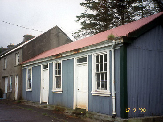 Castlegregory Railway Stationrailway station · 1.6 mi
 Site of CastleCastle, unclassified · 1.7 mi
 CarrigadavMountain / peak · 1.9 mi
 IndicatedCastle, tower house · 2.3 mi
 CummeenMountain / peak · 2.9 mi
 Sandy Bay BeachBeach / strand · 2.9 mi
 Graveyard in Baile An Chnocáin (tc An Cnoc Glas)Graveyard · 3.0 mi
 Glanteenassig Forest ParkForest · 3.6 mi
 Faisr's GraveArchaeological place · 3.9 mi
Other information
Photo: Mucklagh · CC BY-SA 4.0