What is recorded here
Situated on the NE edge of a low ridge overlooking the Brittas river (to the E). In graveyard (WI001-022003-). According to local tradition this is the original location of a font which is currently located outside St Brigid's Church c. 200m to the W (see WI001-046----).
Compiled by: Paul Walsh
Date of upload: 19 November 2012
The monument record does not grant public access. Check the route and ask the landowner before entering private land.
- What survives
- Recorded monument
Places near here
 Church in Kilbride (talbotstown Lower By.)Church · 1 yd
 Font (present location) in Kilbride (talbotstown Lower By.)Font (present location) · 220 yd
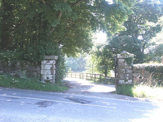 The Manorhouse · 275 yd
 Ecclesiastical enclosure in Kilbride (talbotstown Lower By.)Ecclesiastical enclosure · 578 yd
 Rock WoodForest · 825 yd
 CastleCastle, tower house · 1.5 mi
 OldcourtMemorial · 1.6 mi
 Site of CastleCastle, unclassified · 1.6 mi
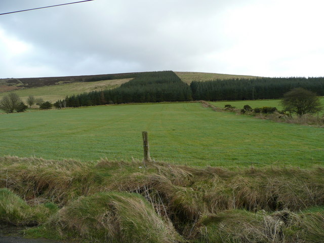 Butter MountainMountain / peak · 2.3 mi
 Cupidstown HillMountain / peak · 2.3 mi
 The Square RenewalMemorial · 3.4 mi
 Blessington DemesneWood · 3.6 mi