
What is recorded here
Freestanding single-bay single-storey stone folly or turret, built c. 1880, now out of use. Roughly squared and coursed rubble stone walls with roughly squared quoins to the corners, projecting stone plinth course with cut stone coping over, and with cut stone stringcourse at eaves level. Roof hidden behind parapet. Square-headed openings, now largely blocked, having cut stone lintels. Rubble stone paving to west. Sited on cliff edge on promontory overlooking Donegal Bay to the north and to the west. Located to the west of Bundoran.
This conspicuous rubble stone tower or turret is a curious feature located on a cliff top to the west of Bundoran. It is well-built using squared local rubble stone masonry while the cut stone stringcourses to the plinth and to the eaves add the bare minimum of detailing. The original function is not known but it was probably originally built as a folly or curiosity by a local landowner named Cassidy, hence the name. A book published in 1909 by Baddely, Bartholomew and Baxter (‘Ireland (Part 1): Northern counties including Dublin) records that this tower ‘contains rough and broken pieces of sculpture, the eccentric work of a Mr. Cassidy, formerly owner of the Bundrowes salmon-fishery’ while another antiquarian book published at the end of the nineteenth century records that it contained ‘curious works executed in stone in 1888 by the late Mr. Cassidy, one of which is supposed, or was intended to, represent Grana-Uile [Granuaile], or Grace O'Malley’. This unusual structure is a feature of some picturesque appeal located along the coastline to the west of Bundoran, and is an interesting addition to the built heritage of the local area. It is located on a promontory with an array of prehistoric sites located adjacent to the east and the south.
From the Buildings of Ireland (National Inventory of Architectural Heritage) record 40910618
This does not grant access. Most recorded buildings are privately owned; view them only from public ground unless the owner allows entry.
Places near here
 Magheracar Passage TombPassage tomb · 201 yd
 Magheracar Wedge TombWedge tomb · 268 yd
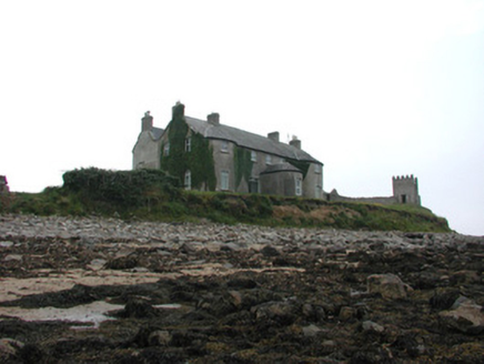 Tynte LodgeCountry house · 848 yd
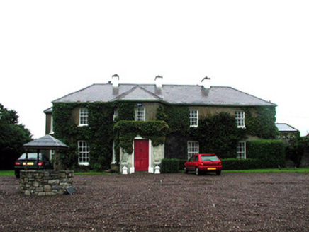 Tullaghan HouseHouse · 1040 yd
 BundoranOfficial bathing water · 1.7 mi
 Cliffs by BundoranPublicly named cliff or headland · 2.4 mi
 Finner Old GraveyardGraveyard · 2.6 mi
 Tullan StrandBeach / strand · 3.4 mi
 Arroo MountainMountain / peak · 4.7 mi
 Dark Cliffs at KilbarronPublicly named cliff or headland · 4.9 mi
 Kilbarron Castle in ruinsCastle, tower house · 4.9 mi
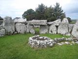 Creevykeel Court TombNeolithic court tomb · 5.3 mi
Pictures: Wanfried-Dublin, Wikimedia Commons · CC BY-SA 4.0; National Inventory of Architectural Heritage; N Chadwick, Geograph · CC BY-SA 2.0; Jonathan Wilkins, Wikimedia Commons · CC BY-SA 2.0; louise price, Wikimedia Commons · CC BY-SA 2.0; Jonathan Wilkins, Geograph · CC BY-SA 2.0; Michael Murtagh, Geograph · CC BY-SA 2.0; Oliver Dixon, Wikimedia Commons · CC BY-SA 2.0
More historic places in County Donegal · All of County Donegal
What do you know about this place?