What is recorded here
Near the top of a long moderately steep E-facing pasture slope. Immediately E of a possible enclosure (KD032-017001-) Visible on 1971 aerial photographs (CUCAP AVM 25, BGN 19) as the cropmarks of two parallel fosses, possibly forming part of an associated field system. No visible surface trace survives.
Compiled by: Gearóid Conroy
Date of upload: 16 October 2013
The monument record does not grant public access. Check the route and ask the landowner before entering private land.
- What survives
- Recorded monument
Places near here
 Enclosure in Rathsillagh UpperEnclosure · 64 yd
 CastleCastle, unclassified · 702 yd
 Battle of Kilrushbattle · 825 yd
 Church of Saint John the Evangelist Fontstown)church/chapel · 1061 yd
 IndicatedFairy fort / earthen ringfort · 1073 yd
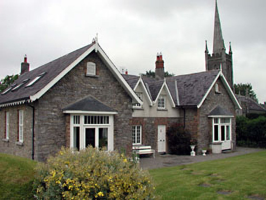 Old School Houseschool · 1103 yd
 Narraghmore WoodWood · 2.2 mi
 Blackhall CastleCastle, tower house · 2.6 mi
 Narraghmore Nature ReserveForest · 2.9 mi
 History of Moat of ArdscullVisitor information · 3.0 mi
 Gorden Bennet Race memorialMemorial · 3.0 mi
 Burtown House and GardensHeritage attraction · 4.3 mi