
What is recorded here
Series of rectilinear cropmarks, some perpendicular to each other, covering area of c. 16ha, visible in aerial photographs (CASAP, July 1989). Some closely spaced parallel cropmarks may be routeways. Circular enclosure (CO017-131---) to N.
The above description is derived from the published 'Archaeological Inventory of County Cork. Volume 4: North Cork' (Dublin: Stationery Office, 2000). In certain instances the entries have been revised and updated in the light of recent research.
Date of upload/revision: 14 January 2009
The monument record does not grant public access. Check the route and ask the landowner before entering private land.
- What survives
- Recorded monument
Places near here
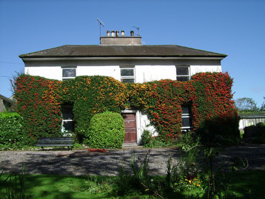 Spitalfieldshouse · 364 yd
 Man-made underground passageMan-made underground passage · 518 yd
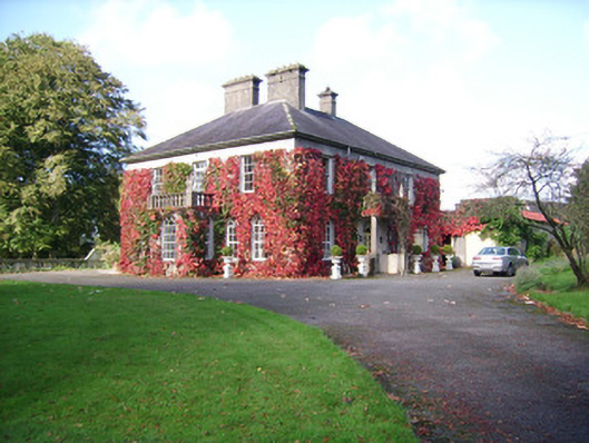 Rathclare Househouse · 819 yd
 Burial ground in Spital (orrery and Kilmore By.)Burial ground · 883 yd
 Ballinguile Castle (in Ruins)Castle, tower house · 1507 yd
 David HurleyMemorial · 1604 yd
 SycamoreSycamore · 1605 yd
 Buttevant Rail DisasterMemorial · 1668 yd
 Lombards CastleCastle, tower house · 1.2 mi
 Rogan's Rock CovertWood · 1.4 mi
 Smith's WellSpring · 3.5 mi
 Lady's WellSpring · 3.9 mi
Other information
Photo: Credit not shown in the picture search · Rights wording not checked; contact us if this picture should be removed