
What is recorded here
A 1970 aerial photograph (CUCAP BDU 44) shows earthworks covering a rectangular area (est. dims. L c. 150m N-S; Wth c. 100m E-W). At the E-foot of a low rise, under crop, and not visible, when inspected in 1985 (SMR file). In 2000, in advance of a commercial development, six test-trenches were excavated in the area…
Read the whole record
From the National Monuments Service (Archaeological Survey of Ireland) record KD010-008
Places near here
Photo credits
- Maker not stated on source page, monumentalireland.ie
- National Inventory of Architectural Heritage
- Scaramanga731, Wikimedia Commons · CC BY-SA 4.0
- William Murphy, Wikimedia Commons · CC BY-SA 2.0
- JP, Geograph · CC BY-SA 2.0
- Ilja Klutman from Ballinakill, Ireland, Wikimedia Commons · CC BY-SA 2.0
- Maker not stated on source page, irlandnews.com
- AugusteBlanqui, Wikimedia Commons · CC BY-SA 4.0
- Sheila1988, Wikimedia Commons · CC BY-SA 4.0
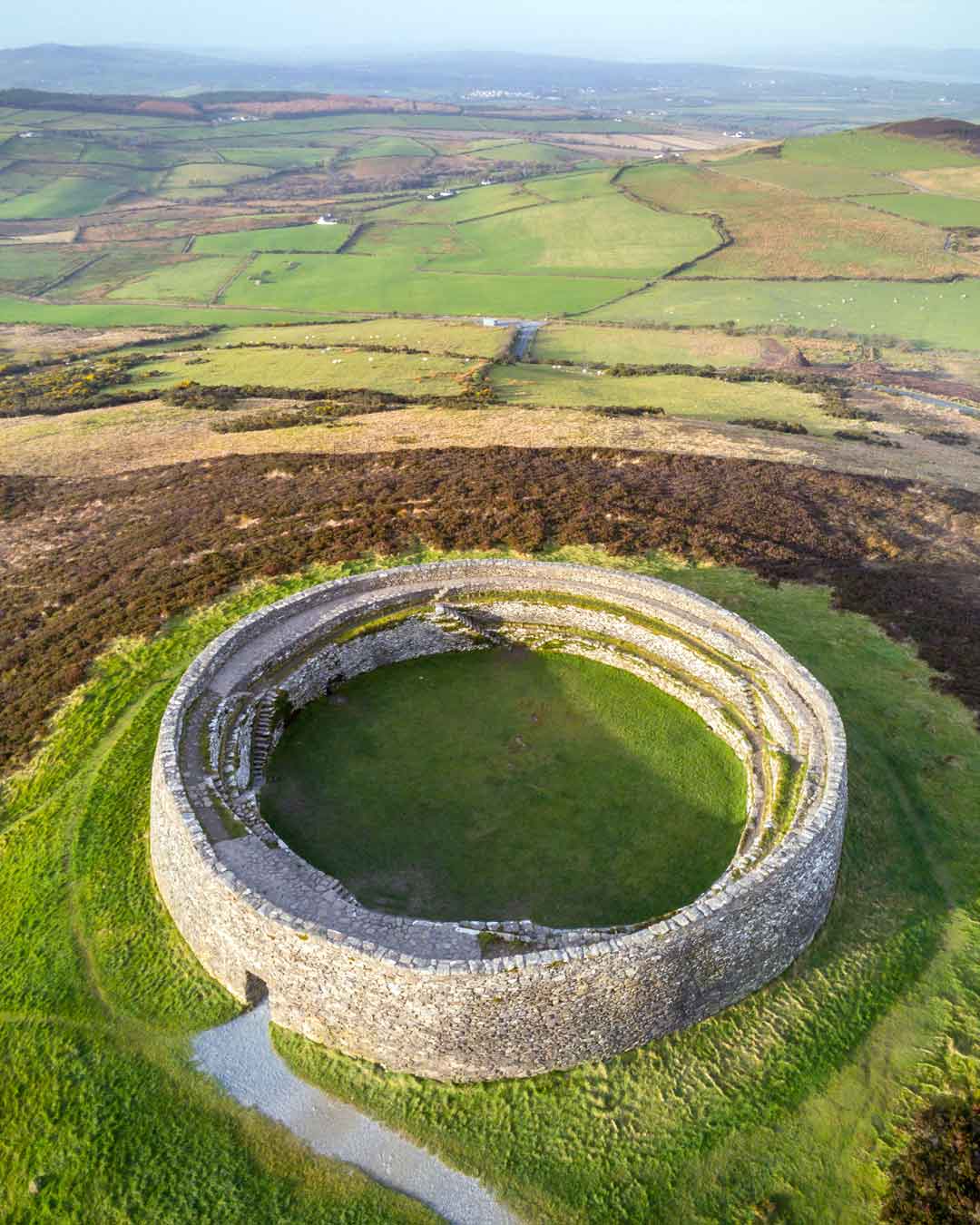 Fairy fort / earthen ringfort in BallygoranFairy fort / earthen ringfort · 1257 yd
Explorer Tom Fairy fort / earthen ringfort in Ballygoran is named after 'Bally', which I’m pretty sure means 'very muddy' in ancient…
 Maynooth Railway StationStation master's house · 1588 yd
Explorer Tom Maynooth Railway Station Master’s House thinks the 1800s were just a time for red brick and no Wi-Fi. It would explain…
 bridge1612 yd
Explorer Tom Bridge in Collegeland has an imaginary fan club that meets every Tuesday at noon. They mostly just whisper about its…
 Bond BridgeBridge · 1633 yd
Explorer Tom Bond Bridge over the Royal Canal has a least favorite visitor: the guy who leans on the railing and drops his phone in…
 Mullen BridgeBridge · 1655 yd
Explorer Tom Mullen Bridge loves 'Sweet Caroline' because it’s got that sweep and that swing. It’s a limestone arch that’s been…
 canal (section of)1715 yd
Explorer Tom This stretch of canal in Maynooth saw a guy once drop his ice cream into the water and cry like it was his firstborn…
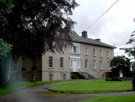 The RectoryRectory/glebe/vicarage/curate's house · 1745 yd
Explorer Tom Rectory in Maynooth is hiding behind its classical front like a shy vicar. Someone once wrote a poem about it so bad…
 Saint Patrick's CollegeHandball alley · 1.0 mi
Explorer Tom Saint Patrick's College: This handball alley would describe the 1800s to a teenager as “vibes where you hit a ball…
 Conolly's FollyHeritage attraction · 1.0 mi
Explorer Tom Conolly's Folly looks like an obelisk that tried to grow arches and got carried away. I admire that sort of ambition…
 The College GraveyardGraveyard · 1.1 mi
Explorer Tom The College Graveyard is judging your outfit and finding it lacking. I swear the dead are writing scathing one-star…
 National Science MuseumMuseum · 1.1 mi
Explorer Tom The National Science Museum at St Patrick's College, Maynooth, is where old electrical apparatus goes to show it still…
 Tea Lane GraveyardMausoleum · 2.4 mi
Explorer Tom Tea Lane Graveyard features a mausoleum where a fake royal visit happened in 1736 and nobody can disprove it. Katherine…
More archaeology and monuments in County Kildare · All of County Kildare

What do you know about this place?Tap to add a comment or ask a question