
What is recorded here
A field system visible as a crop mark on Digital Globe orthoimage taken between 2011-13 together with two enclosures in the same field (DU012-075---- & DU012-076---- ) (SMR file; pers. comm. T. Condit). Located towards western end of what is now a vast open field-relatively flat. No visible remains.
See attached Digital Globe orthoimage taken between 2011-13
Compiled by: David O’Connor
Updated by: Christine Baker
Date of upload: 18 January 2015
The monument record does not grant public access. Check the route and ask the landowner before entering private land.
- What survives
- Recorded monument
Places near here
 Enclosure in LanestownEnclosure · 125 yd
 Lanestown Castle in ruinsCastle, tower house · 465 yd
 Enclosure in Newbridge DemesneEnclosure · 487 yd
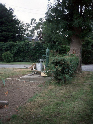 water pumpwater pump · 562 yd
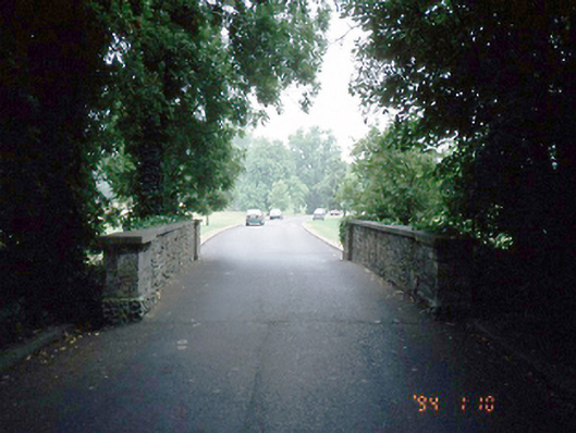 Newbridge Housebridge · 866 yd
 Graveyard (Disused)Church · 947 yd
 Tourist InformationVisitor information · 1183 yd
 Donabate Distributor RoadMemorial · 1267 yd
 Newbridge House and DemesneHeritage attraction · 1293 yd
 Shannon Valley CentreVisitor information · 1428 yd
 Turvey HouseCastle, tower house · 1723 yd
 Turvey Allotments and Nature ReserveNature reserve · 1.0 mi
Other information
Photo: Credit not shown in the picture search · Rights wording not checked; contact us if this picture should be removed