
What is recorded here
From the National Monuments Service (Archaeological Survey of Ireland) record KE080-052003
Places near here
Photo credits
- Maker not stated on source page, what.assurances.gov.gh
- Maker not stated on source page, www.pinterest.com
- Maker not stated on source page, www.joinmychurch.com
- Maker not stated on source page, tr.pinterest.com
- Maker not stated on source page, commons.wikimedia.org
- Maker not stated on source page, eoceanic.com
- Maker not stated on source page, curiousireland.ie
- Neville Goodman, Geograph · CC BY-SA 2.0
- Commander-pirx, Wikimedia Commons · CC BY-SA 4.0
- Maker not stated on source page, www.alamy.com
 Megalithic structure in KillogroneMegalithic structure · 307 yd
Explorer Tom Megalithic structure in Killogrone is stuck in a feud with its neighbour over who owns the best view of the river. It’s…
 Standing stone in KillogroneStanding stone · 307 yd
Explorer Tom Standing stone in Killogrone: It had five different names in the last century, all forgotten except for this one. It’s…
 Church in KillogroneChurch · 935 yd
Explorer Tom Church in Killogrone in County Kerry is hiding a treasure that is definitely just an old biscuit tin. It’s sandwiched…
 Ogham stone in KillogroneOgham stone · 937 yd
Explorer Tom Ogham stone in Killogrone has very strong opinions on modern buildings, especially since it’s still standing while they…
 Fairy fort / earthen ringfort in KilloeFairy fort / earthen ringfort · 1414 yd
Explorer Tom Fairy fort / earthen ringfort in Killoe hides a treasure that is definitely just an old biscuit tin wrapped in a…
 Ogham stone in CanburrinOgham stone · 1517 yd
Explorer Tom Ogham stone in Canburrin was buried so deep it missed its own birthday party. There was a prophecy about gold, but we…
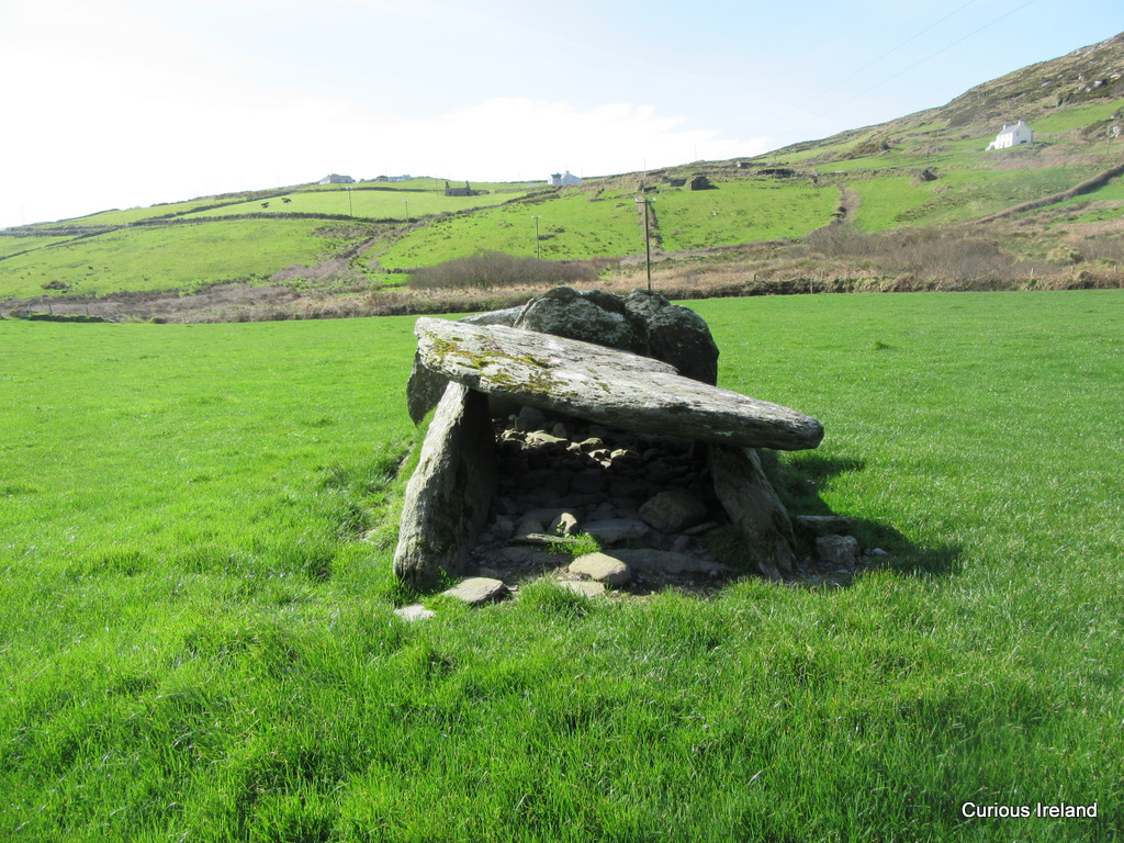 Wedge tomb in KilloeWedge tomb · 1.4 mi
Explorer Tom Wedge tomb in Killoe has a retirement plan that involves staying buried in boggy ground until the world gets too noisy…
 Church in KilloeChurch · 1.5 mi
Explorer Tom Church in Killoe in County Kerry would buy a tiny boat if it won the lotto. It sits on a mountain slope looking very…
 Laharn Bog LoopWalking route · 1.9 mi
Explorer Tom Laharn Bog Loop in County Kerry took about forty cups of tea to build because the foremen kept getting distracted by…
 CastleCastle, unclassified · 2.2 mi
Explorer Tom Castle in Aghatubrid is having a massive row with the nearest tree over who gets to block the view. It’s been shouting…
 Fermoyle Castle (in Ruins)Castle, tower house · 4.4 mi
Explorer Tom Fermoyle Castle in Formaoil is still sulking about losing its walls to the elements. It wants a rematch with Ross…
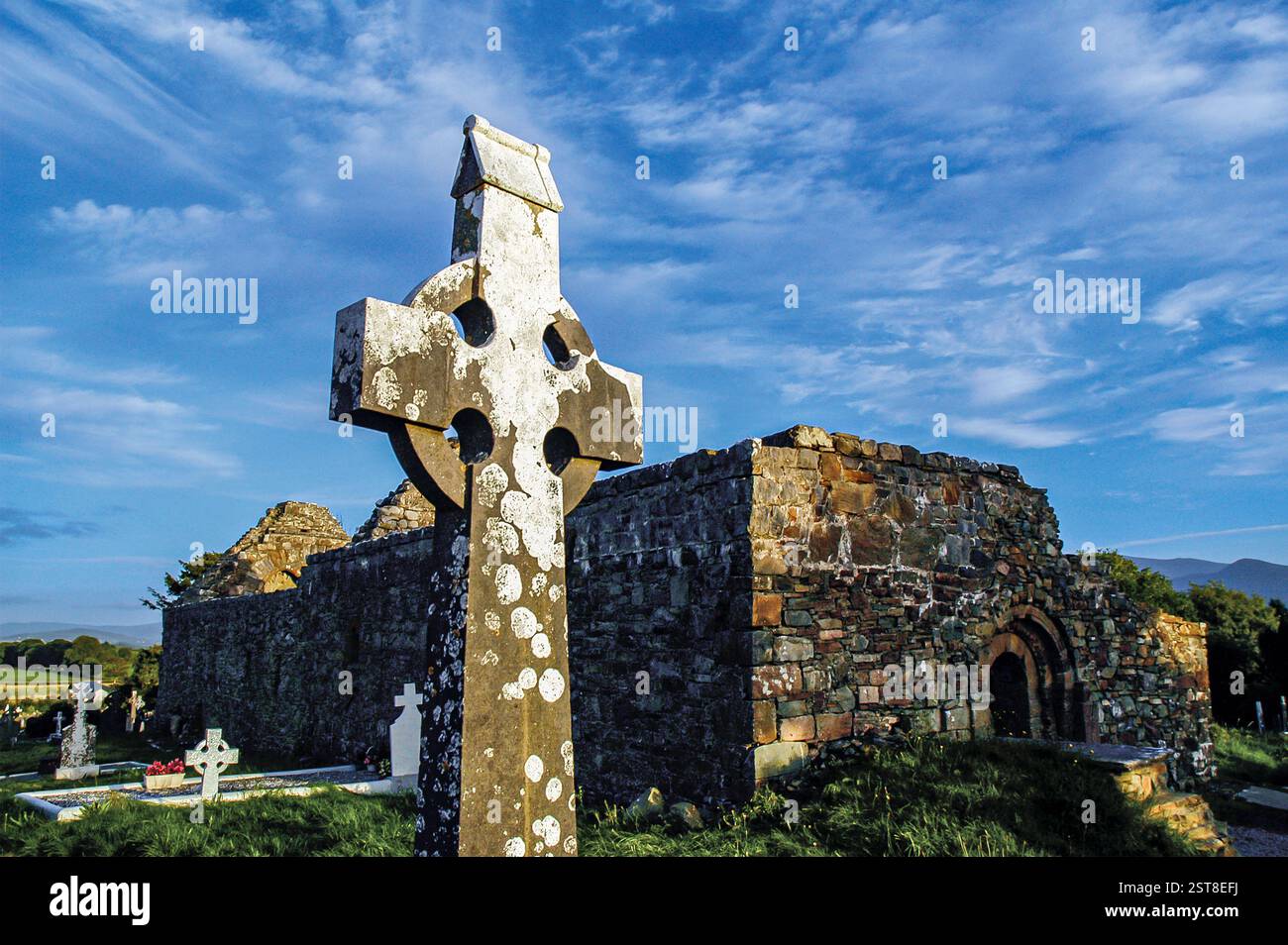 Graveyard in Church Island (iveragh By., Castlequin Ed)Graveyard · 5.0 mi
Explorer Tom Graveyard in Church Island is sick of being asked if it's haunted by tourists with cheap sunglasses. It was a wooden…
More archaeology and monuments in County Kerry · All of County Kerry

What do you know about this place?Tap to add a comment or ask a question