What is recorded here
Castle Aghatubrid, lost in County Kerry since a 1758 tour, may still hide beneath turf or water. Its absence is not emptiness but a lock waiting for the right hand. What is missing is not dead; it is holding its breath.
During his 1758 tour of the south and south-west of Ireland, Pococke refers to a castle called Aghatubrid (Ó Maidín 1959, 38). There is no information relating to a castle in this townland and it has not been precisely located.
The above description is derived from the published 'Archaeological Inventory of County Kerry. Volume I: South-West Kerry' (Dublin: Stationery Office, 2009). In certain instances the entries have been revised and updated in the light of recent research.
Date of upload: 30 May 2011
The monument record does not grant public access. Check the route and ask the landowner before entering private land.
- What survives
- Recorded monument
Places near here
 Holy well in AghatubridHoly well · 473 yd
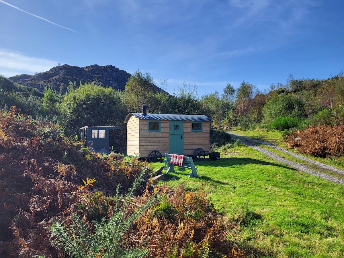 Hut site in AghatubridHut site · 698 yd
 Kineigh Househouse · 1.9 mi
 FoilcloghMountain / peak · 2.0 mi
 BeenduffMountain / peak · 2.2 mi
 Fermoyle Castle (in Ruins)Castle, tower house · 2.3 mi
 Emlagh LoopWalking route · 2.6 mi
 Mc Crehins Castle (Site of)Castle, unclassified · 2.6 mi
 Laharn Bog LoopWalking route · 2.8 mi
 RoadRoad, road/trackway · 2.8 mi
 Reenrow BeachBeach / strand · 3.0 mi
 Inny StrandBeach / strand · 3.3 mi