
What is recorded here
Not marked on the OS maps, this well was located c. 270m E of Kilpeacan ecclesiastical site (KE088-015001-). It was referred to locally as a holy well and was filled in during the 1940s. No surface trace of it remains. Lying face down on a field boundary c. 20m to N is a large cross-inscribed slab which formerly stood close to the well (local information). Measuring 2.18m long and .5m in maximum width, it features an equal-armed linear cross close to one end.
The above description is derived from A. O'Sullivan and J. Sheehan (compilers), 'The Iveragh peninsula: an archaeological survey of South Kerry'. Cork University Press (1996), no. 1051. In certain instances the entries have been revised and updated in the light of recent research.
Date of upload: 30 July 2013
Linked to an unnamed saint or local tradition, the well at Aghatubrid was likely used for seasonal or healing rituals, as was common with many holy wells in Ireland. Its association with the nearby Kilpeacan ecclesiastical site suggests a possible early Christian connection.
The monument record does not grant public access. Check the route and ask the landowner before entering private land.
- What survives
- Recorded monument
Places near here
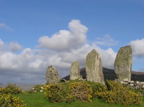 Megalithic structure in AghatubridMegalithic structure · 272 yd
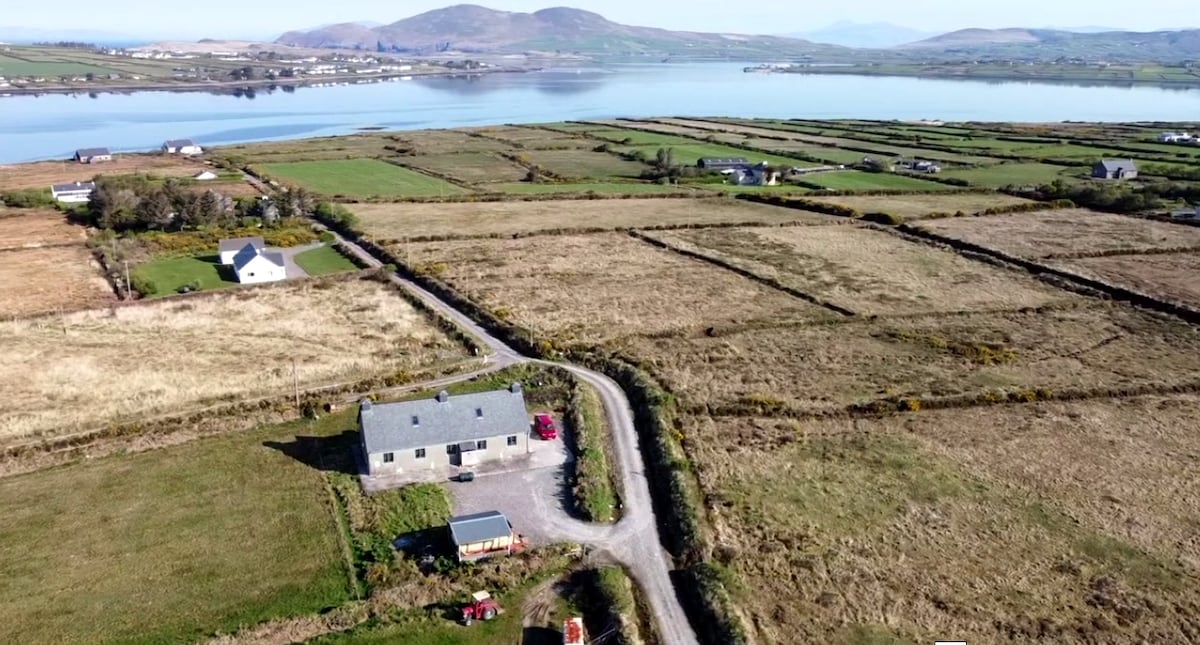 Shrine in AghatubridShrine · 295 yd
 FoilcloghMountain / peak · 2.0 mi
 Kineigh Househouse · 2.1 mi
 Fermoyle Castle (in Ruins)Castle, tower house · 2.3 mi
 BeenduffMountain / peak · 2.3 mi
 Mc Crehins Castle (Site of)Castle, unclassified · 2.4 mi
 Laharn Bog LoopWalking route · 2.6 mi
 Emlagh LoopWalking route · 2.7 mi
 RoadRoad, road/trackway · 2.8 mi
 Reenrow BeachBeach / strand · 3.2 mi
 Waterville Beach (Reenore) HotelRuins · 3.4 mi
Other information
Photo: Credit not shown in the picture search · Rights wording not checked; contact us if this picture should be removed