
What is recorded here
Situated on the grounds of Fieldstown House north of the Broadmeadow River. Notable as a hollow way running NNW/SSE between church and well, almost parallel to existing road. Defined by drop to the east from level ground c.3m width, possible drainage either side. Lots of undulations imply deserted settlement.
Compiled by: Geraldine Stout
Updated by: Christine Baker
Date of upload: 29 November 2014
The monument record does not grant public access. Check the route and ask the landowner before entering private land.
- What survives
- Recorded monument
Places near here
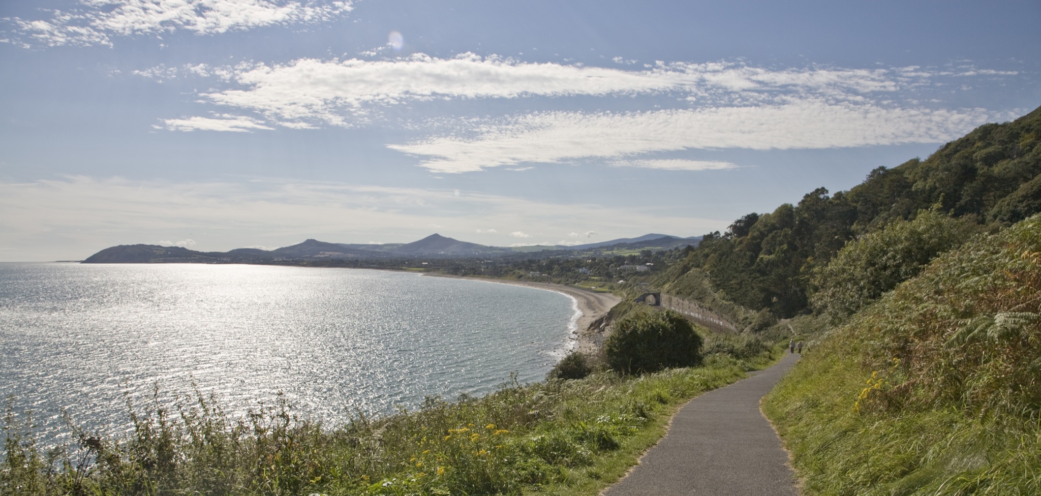 IndicatedHoly well · 50 yd
 Site of St Brides ChurchChurch · 67 yd
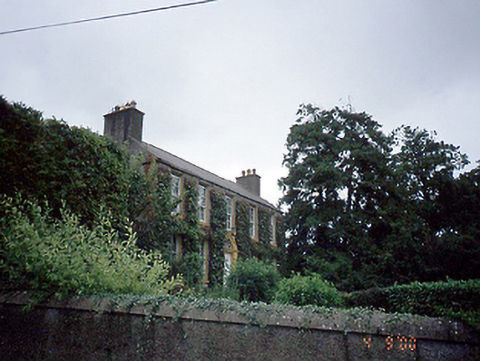 Rowlestown Househouse · 971 yd
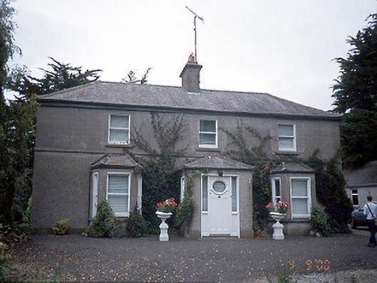 farm housefarm house · 1014 yd
 Graveyard in KillosseryGraveyard · 1088 yd
 CastleCastle, tower house · 1.1 mi
 Wooly Ward's FarmHeritage attraction · 1.5 mi
 Freedagh MoatCastle, motte · 2.0 mi
 AshbourneMemorial · 2.7 mi
 St Cronans WellSpring · 3.6 mi
 St. John's WellSpring · 3.8 mi
 The JackoWood · 4.0 mi
Other information
Photo: Credit not shown in the picture search · Rights wording not checked; contact us if this picture should be removed