
What is recorded here
Geophysical Survey carried out in 2000 and 2001 in the fields to the S of Durrow church (OF009-005013-) and graveyard (OF009-005009-) identified a possible rectangular shaped house with internal hearth that was associated with a possible field system (OF009-005026-) which may represent the remains of a small farmstead located outside the monastic enclosure (OF009-005003-) to the SE (O'Brien 2012, 121).
Compiled by: Caimin O’Brien
Date of upload: 29 April 2014
The monument record does not grant public access. Check the route and ask the landowner before entering private land.
- What survives
- Recorded monument
Places near here
 RoadRoad, road/trackway · 83 yd
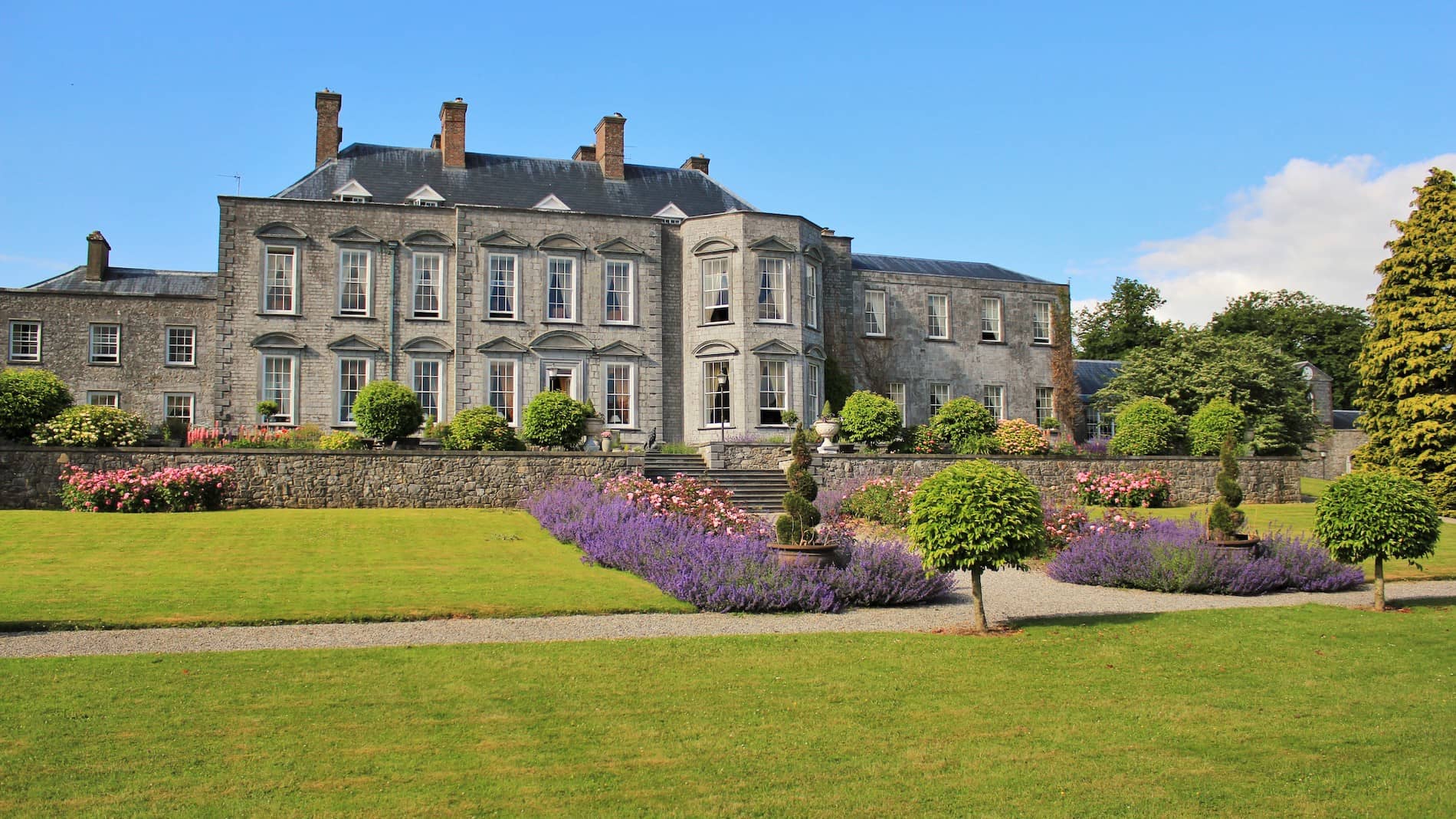 Mound in Durrow DemesneMound · 196 yd
 Socket StoneCross · 226 yd
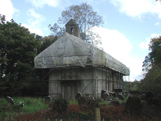 Durrow Abbeychurch/chapel · 297 yd
 St. Columba's WellSpring · 383 yd
 Durrow MoatCastle, motte · 535 yd
 High WoodWood · 1110 yd
 Shancourt or MeeneglishCastle, unclassified · 1596 yd
 Durrow HillMountain / peak · 1.3 mi
 European ashEuropean ash · 1.5 mi
 Bonfire HillMountain / peak · 3.1 mi
 Grand Canal WayWalking route · 3.5 mi
Other information
Photo: Credit not shown in the picture search · Rights wording not checked; contact us if this picture should be removed