What is recorded here
National Monument No. 313. No surface remains of mound described by Oliver Davies in 1942 as 'Close to the fort [OF009-006] on Sheeaun Hill, at N end of a ridge just below summit. The mound is about 2 feet high and 6yds. Across, circular, grassed, apparently composed of small stones and earth. There is no fosse, but it looks like a burial-mound. Beside it is a large limestone boulder, much weathered along the cracks, but there are no clearly artificial markings on it.' (ITA Survey 1942).
The above description is derived from the published 'Archaeological Inventory of County Offaly' (Dublin: Stationery Office, 1997). In certain instances the entries have been revised and updated in the light of recent research.
Date of upload: 23 May 2011
The monument record does not grant public access. Check the route and ask the landowner before entering private land.
- What survives
- Recorded monument
Places near here
 RoadRoad, road/trackway · 128 yd
 Field system in Durrow DemesneField system · 196 yd
 BarrowBarrow, ring-barrow · 238 yd
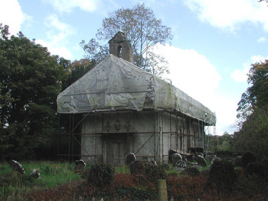 Durrow Abbeychurch/chapel · 359 yd
 St. Columba's WellSpring · 524 yd
 Durrow MoatCastle, motte · 552 yd
 High WoodWood · 1219 yd
 Shancourt or MeeneglishCastle, unclassified · 1.0 mi
 European ashEuropean ash · 1.4 mi
 Durrow HillMountain / peak · 1.4 mi
 Bonfire HillMountain / peak · 3.2 mi
 Grand Canal WayWalking route · 3.4 mi
Other information
Photo: Credit not shown in the picture search · Rights wording not checked; contact us if this picture should be removed