
What is recorded here
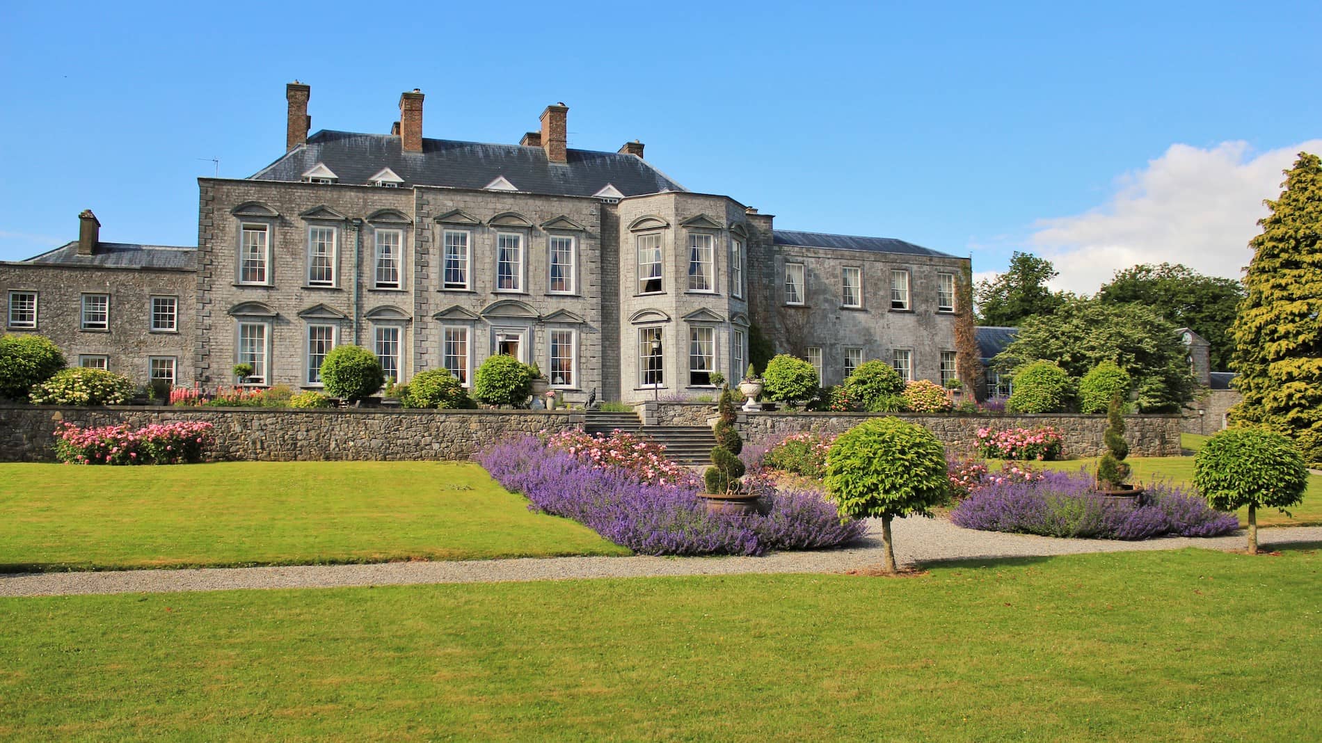
Geophysical Survey carried out in 2000 and 2001 in the fields to the S of Durrow church (OF009-005013-) and graveyard (OF009-005009-) identified a possible trackway running up to the possible entrance on the SE side of the monastic enclosure (OF009-005003-) at Durrow (O'Brien 2012, 121). This trackway is visible as a cropmark on OSI aerial photographs of Durrow. A drawing of this field containing the monastic enclosure was drawn by Reverend Sterling de Courcy Williams in 1899 which shows the upstanding remains of the monastic enclosure along with a 'backache stone' now lost and the 'headache stone' which is the small base of the high cross standing along the avenue into Durrow Abbey house. This drawing clearly shows the remains of the old entrance into Durrow Abbey House which is now disused and covered in grass. See attached image of drawing of the termon of Durrow by De Courcy Williams in 1899.
Compiled by: Caimin O’Brien
Date of upload: 29 April 2014
The monument record does not grant public access. Check the route and ask the landowner before entering private land.
- What survives
- Recorded monument
Places near here
 Field system in Durrow DemesneField system · 83 yd
 Mound in Durrow DemesneMound · 128 yd
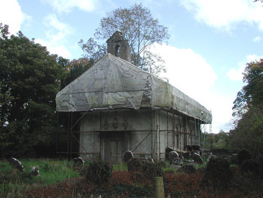 Durrow Abbeychurch/chapel · 271 yd
 St Columbas Ch (Disused)Church · 271 yd
 St. Columba's WellSpring · 404 yd
 Durrow MoatCastle, motte · 495 yd
 High WoodWood · 1117 yd
 Shancourt or MeeneglishCastle, unclassified · 1672 yd
 Durrow HillMountain / peak · 1.3 mi
 European ashEuropean ash · 1.5 mi
 Bonfire HillMountain / peak · 3.2 mi
 Grand Canal WayWalking route · 3.5 mi
Other information
Photo: Credit not shown in the picture search · Rights wording not checked; contact us if this picture should be removed