What is recorded here
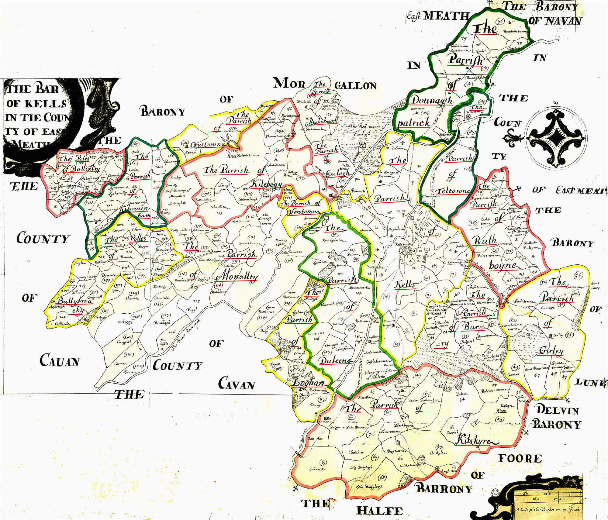
Situated on a fairly level landscape. Aerial photographs by L. Swan (LS_AS_67BWN_00132) from the early 1970s record elements of a rectangular field system covering an extensive area (dims c. 220m NW-SE; c. 220m NE-SW) between the large enclosure (ME050-027----) to the SE and the possible church site (ME050-029----) to the NW, but not connected directly with either and different in character to both. The fields are large and rectangular (dims c. 60-120m x c. 30-50m), and appear to be defined by single ditches that correspond closely to features represented on the Down Survey (1656-8) barony and parish maps. They also run generally parallel with the current boundaries but are probably medieval in date.
The area was subject to a partial magnetic gradiometer and earth resistance survey (00R0014) by I. Elliot (2000) where the features recorded in the aerial photographs are confirmed. Elliott’s results suggest that the enclosing elements consisted primarily of hedges. The NE-SW by-pass road (R157) for Dunboyne cut through the area, and centre-line testing (04E0487) by R. O’Hara (2004, 10-11) noted four of these ditches of uniform character (Wth c. 1.2m; D 0.5m) with homogenous fills from which nothing was recovered except some snail shells (excavations.ie 2004:1229). Further excavation (E003024) by R. Elliott (excavations.ie 2004:1554) of Dunboyne 4 recorded the drain features in detail and recovered post-medieval and modern ceramics from them. The long structure (ME050-062001-) and its associated possible kiln (ME050-062002-) were also identified and excavated but they are unrelated to the fields (Elliott 2008).
Compiled by: Michael Moore
Date of upload: 3 November, 2021
The monument record does not grant public access. Check the route and ask the landowner before entering private land.
- What survives
- Recorded monument
Places near here
 Courthillcountry house · 1179 yd
 Font in DunboyneFont · 1230 yd
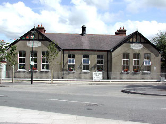 Dunboyne National Schoolschool · 1233 yd
 CastleCastle, ringwork · 1493 yd
 EnclosureEnclosure, large enclosure · 1.0 mi
 Hanwood GardensHeritage attraction · 1.9 mi
 Site of Old CastleCastle, unclassified · 2.1 mi
 Caulstown Christmas Tree FarmForest · 2.2 mi
 Ash HillMountain / peak · 2.4 mi
 Wesley's WoodsWood · 3.2 mi
 Church, GraveyardChurch · 3.9 mi
 Graveyard in BuzzardstownGraveyard · 4.0 mi