
Places near here
Photo credits
- National Inventory of Architectural Heritage
- Willow, Wikimedia Commons · CC BY 2.5
- GTD Aquitaine, Wikimedia Commons · Public domain
- A.-K. D., Wikimedia Commons · CC0
- David Perez, Wikimedia Commons · CC BY 3.0
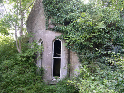 Markree CastleGate lodge · 307 yd
Explorer Tom Markree Castle in Cloonmacduff is hiding better than my ex’s phone number. Locals swear if you whistle near its overgrown wrought-iron gates, a lucky penny will appear, provided you don’t blink first. Snap it from the roadside and pretend you found the secret yourself!
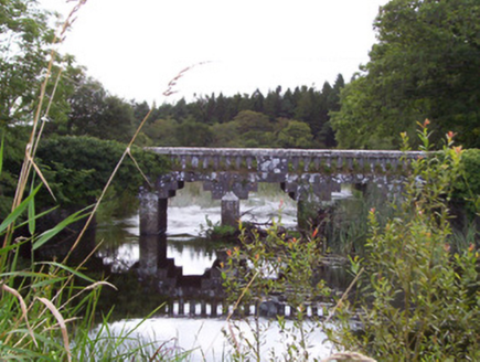 bridge406 yd
Explorer Tom Bridge in Cloonmacduff has a curse that only affects people who don’t wave back when it splashes water at them, which is most of us. It’s from the Markree estate and looks angular enough to poke your eye out if you get too close to those cutwaters.
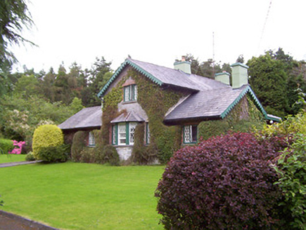 Deerpark LodgeGate lodge · 425 yd
Explorer Tom Deerpark Lodge gate lodge is constantly being gossiped about by local seagulls who say it looks better than their nests. It retains its original appearance with lattice windows that look like they’re posing for photos. Don’t feed the birds or they’ll tell everyone your business.
 European ash1181 yd
Explorer Tom European ash in County Sligo was nearly sold as a horse because a farmer mistook its shape for a mane. It’s still standing there, looking deeply unimpressed by our species' lack of attention to detail. Take a breath of that air, it's older than your car.
 Battlefield in Carricknagat (leyny By.),rinn (leyny By.),bleachgreen,collooney,ardcottenBattlefield · 1224 yd
Explorer Tom Battlefield in Carricknagat survived a massive storm by just staying put, which is impressive for a spot with such a chaotic history of conflict and confusion. It’s got a real 'I’ve seen it all' attitude that makes you feel like your problems are tiny in comparison to the old wars. Go at sunset and thank me later.
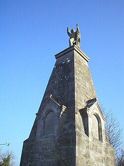 Battle of CollooneyBattle · 1228 yd
Explorer Tom The Battle of Collooney in County Sligo took about four cups of tea to build up the energy needed for the fighting, and they used them all up. Bartholomew Teeling put up a monument there, which is basically a giant finger wagged at history for forgetting this little scuffle. Stop the car, it's worth the hazard lights.
CastleCastle, motte and bailey · 1361 ydExplorer Tom Someone wrote a bad poem about this Ballygrania motte and bailey. The rhyme scheme was terrible and the meter was worse. It’s an earthen mound inside another big castle’s grounds, which is weirdly redundant. Have a nosey, politely, from a distance.
 CrannogeCrannog · 1.1 mi
Explorer Tom Crannoge in Ballydawley is basically invisible now, which is hilarious because it used to be a massive stone mound in the lough. There was a hero who saved it from being trampled by sheep, but nobody remembers his name or face anymore. Have a look and decide if I was lying.
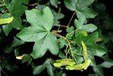 Field Maple1.2 mi
Explorer Tom Field Maple in County Sligo is cursed so that if you don't wave when passing, your left shoe falls off. It’s not magic, just bad luck with excellent timing. It's the kind of place that makes a dull Tuesday interesting.
 CloghagadaideStone row · 1.4 mi
Explorer Tom Cloghagadaide is three stones in a row, one of which has clearly given up and flopped over. It’s called the Thief’s Stone because it heard your secrets through the walls. Go in good boots and better humour.
BunreecoillMountain / peak · 2.0 miCastle (Site of)Castle, unclassified · 2.1 miExplorer Tom Castle in Knockmullin ended up in the wrong place because someone misplaced the building plans. The MacDonaghs demolished it to build houses nearby, so it’s literally gone. If it's closed, admire it from the road like a polite stalker.
More archaeology and monuments in County Sligo · All of County Sligo

What do you know about this place?Tap to add a comment or ask a question