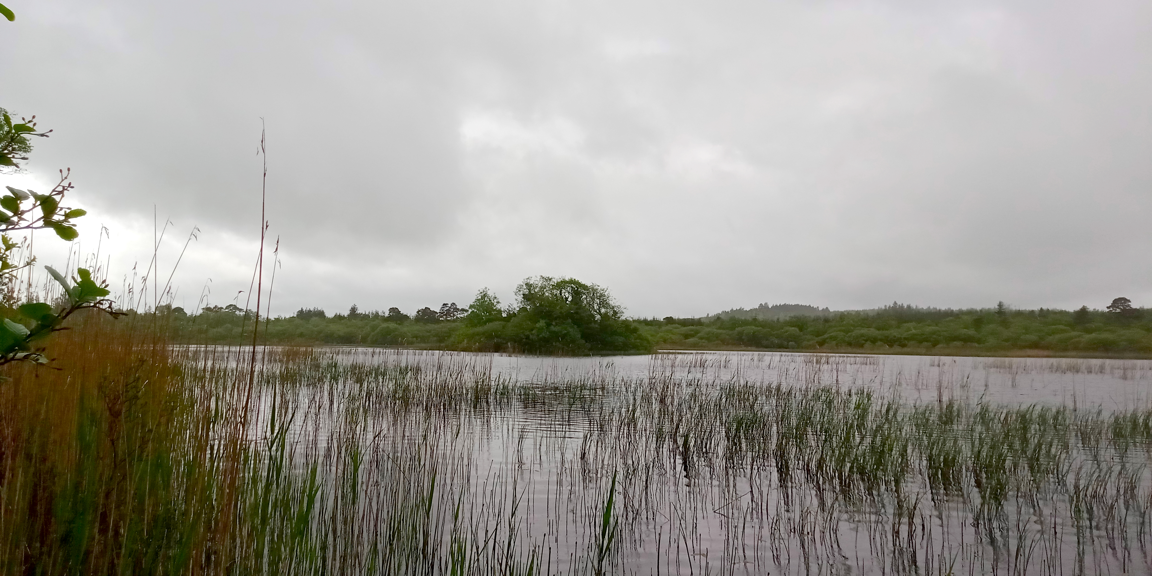
What is recorded here
From the National Monuments Service (Archaeological Survey of Ireland) record SL020-169
This remains an important historical record, but the official description says the monument is no longer visible or has been destroyed. The monument record does not grant public access. Check the route and ask the landowner before entering private land.
- What survives
- No visible remains or recorded as destroyed
Places near here
 CloghagadaideArchaeological place · 597 yd
 CloghagadaideStone row · 600 yd
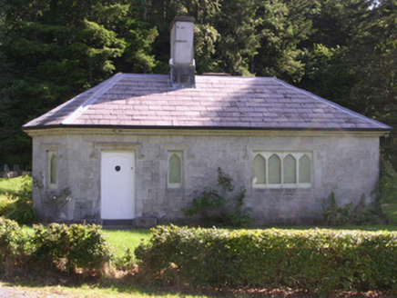 gate lodge1112 yd
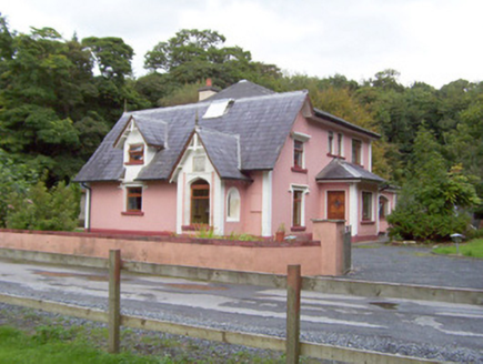 Beehive LodgeGate lodge · 1.1 mi
 Battle of CollooneyBattle · 1.4 mi
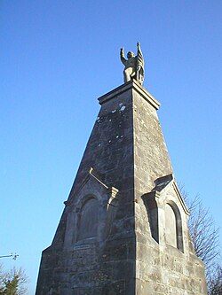
 Teeling MonumentMemorial · 1.4 mi
 European ash1.7 mi
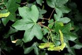 Field Maple2.1 mi
 Markree CastleCastle · 2.1 mi
 Giants GraveArchaeological place · 2.3 mi
 Green IslandIslet · 2.7 mi
 Tobernalt Holy WellSpring · 2.8 mi
Pictures: A.-K. D., Wikimedia Commons · CC0; National Inventory of Architectural Heritage; GTD Aquitaine, Wikimedia Commons · Public domain; Djedi Guy, Wikimedia Commons · CC BY-SA 4.0; Willow, Wikimedia Commons · CC BY 2.5; David Perez, Wikimedia Commons · CC BY 3.0; SE Keenan, Wikimedia Commons · CC BY-SA 4.0; Wanfried-Dublin, Wikimedia Commons · CC BY-SA 4.0; D Gore, Geograph · CC BY-SA 2.0; Bob Embleton, Wikimedia Commons · CC BY-SA 2.0
More archaeology and monuments in County Sligo · All of County Sligo
What do you know about this place?