
What is recorded here
From the National Monuments Service (Archaeological Survey of Ireland) record WI001-024
Places near here
Photo credits
- National Inventory of Architectural Heritage
- Maker not stated on source page, commons.wikimedia.org
- Kilbride GAA club; individual photographer not named, www.kilbridegaa.com
- Guinevere's Garden; photographer not stated, Guinevere's Garden
- Maker not stated on source page, en.wikipedia.org
- Maker not stated on source page, tr.pinterest.com
- Colin Park, Geograph · CC BY-SA 2.0
- Maker not stated on source page, www.irelandhighlights.com
- Maker not stated on source page, www.flickr.com
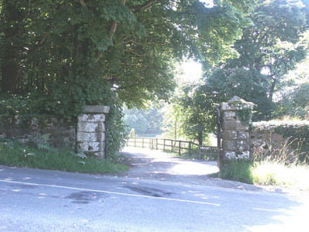 The ManorHouse · 1187 yd
Explorer Tom The Manor in Kilbride is a Tudor Revival show-off with so many gables it looks like it’s trying to juggle its own roof…
 Kilbride CemeteryGraveyard · 1477 yd
Explorer Tom Kilbride Cemetery is deeply suspicious of the postman because he always leaves his bag on top of a grave and walks away…
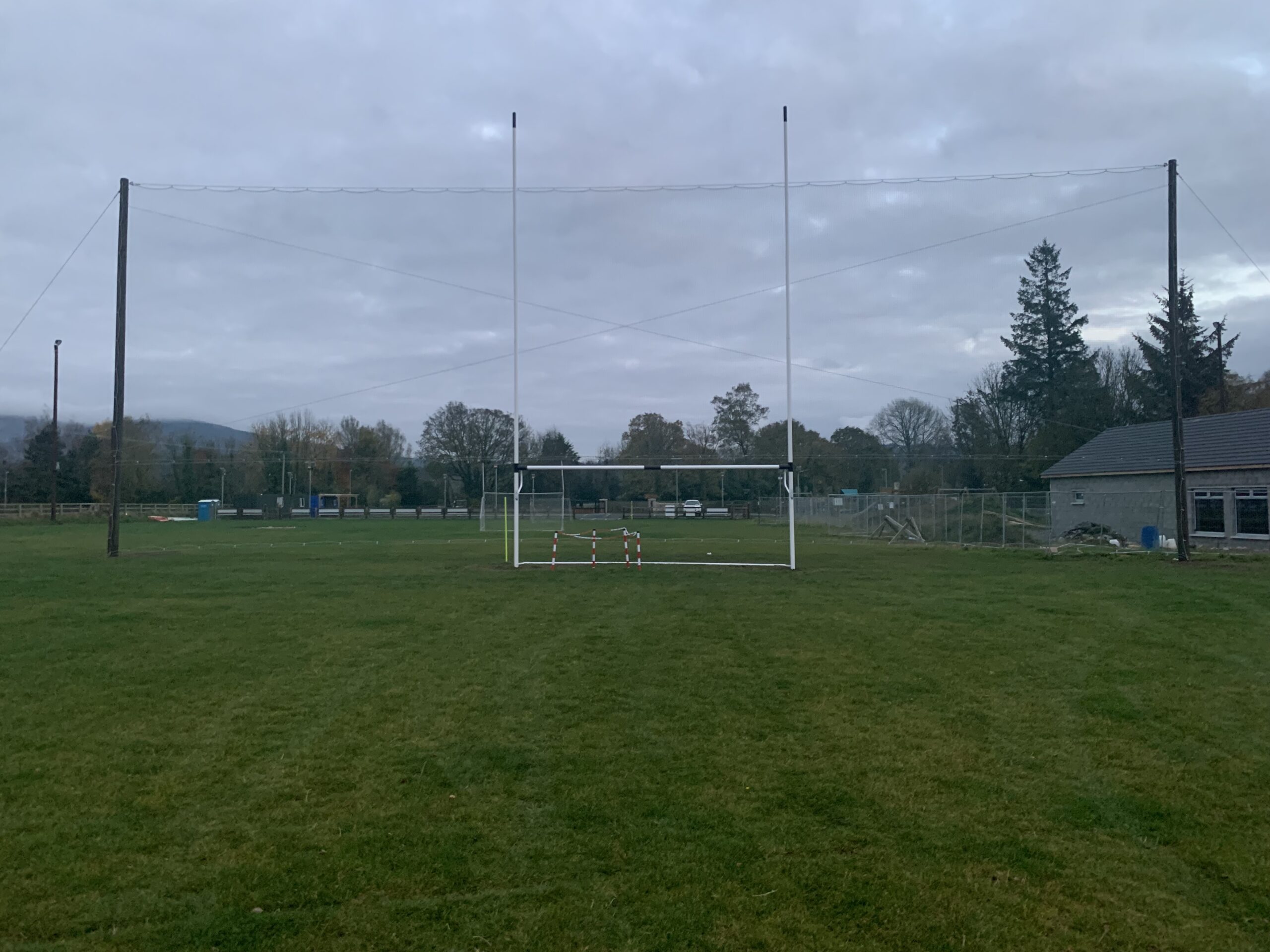 Kilbride GAAGAA ground · 1726 yd
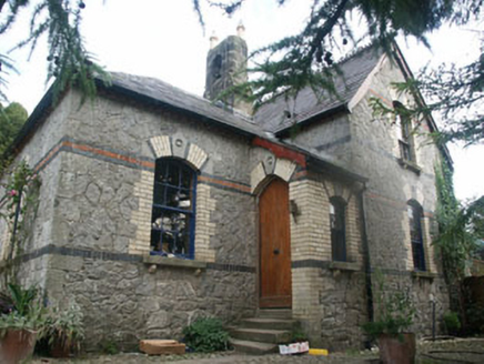 Tinode HouseWorker's house · 1.1 mi
Explorer Tom Tinode House has a hidden treasure that is definitely a biscuit tin left behind by a previous tenant. This c.1870s…
 June Blake's GardenGarden · 1.2 mi
Explorer Tom June Blake's Garden at Tinode began with a sheep paddock and grew into three acres that seem to have quietly outwitted…
 Stone circle in BallyfoyleStone circle · 1.7 mi
Explorer Tom Stone circle in Ballyfoyle has five stones, with the tallest ones in the corner looking like they’re trying to start a…
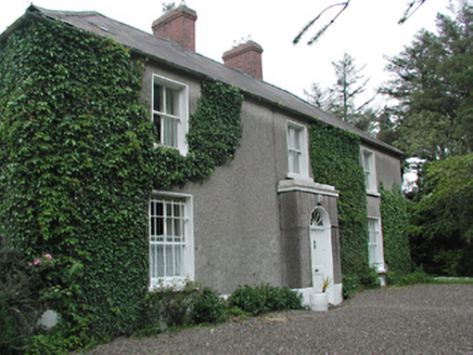 farmyard complex1.8 mi
Explorer Tom Farmyard complex in Brittas Big is busy as ever. The house dates to 1800 with fancy sash windows, while the barns are…
 Mapped graveyardGraveyard · 1.8 mi
Explorer Tom This mapped graveyard in County Wicklow has a solid plan for retirement: becoming a very expensive garden party venue…
 CastleCastle, unclassified · 1.9 mi
Explorer Tom Castle in Threecastles is playing hide-and-seek with history, having been listed but never actually found by anyone who…
 Cupidstown HillMountain / peak · 1.9 mi
Explorer Tom Cupidstown Hill is claimed by a local who says he invented it while walking his dog, which is bold but I respect the…
 Site of CastleCastle, unclassified · 2.2 mi
Explorer Tom This site of a castle in Threecastles is so invisible you need a map and a strong imagination just to find where it…
 Enclosure in CrosscoolharbourEnclosure · 2.4 mi
Explorer Tom Enclosure in Crosscoolharbour would survive a zombie attack by rolling down the slope faster than any undead can chase.…
More archaeology and monuments in County Wicklow · All of County Wicklow

What do you know about this place?Tap to add a comment or ask a question