
Places near here
Photo credits
- National Inventory of Architectural Heritage
- Kilbride GAA club; individual photographer not named, www.kilbridegaa.com
- Hamish Bain, Wikimedia Commons · CC BY-SA 2.0
- Guinevere's Garden; photographer not stated, Guinevere's Garden
- Robert Bone, Geograph · CC BY-SA 2.0
- 瑞丽江的河水, Wikimedia Commons · CC BY-SA 4.0
- Colin Park, Geograph · CC BY-SA 2.0
- Mike Searle, Geograph · CC BY-SA 2.0
- Maker named on the Wikimedia Commons picture page · CC BY-SA 2.5
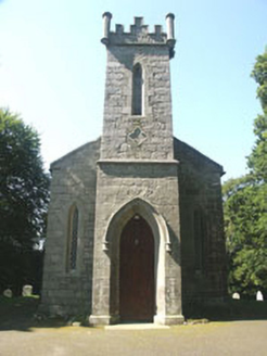 Saint John's Church (Kilbride)Church/chapel · 1538 yd
Explorer Tom Saint John's Church in Kilbride was designed by a mother-in-law who wanted it small so people couldn’t sit comfortably.…
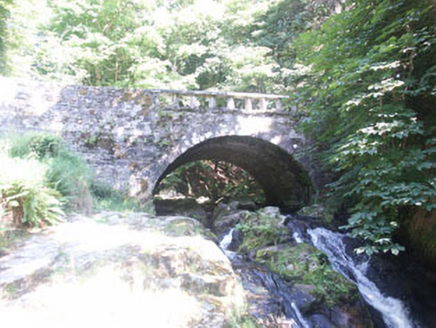 Cloghleagh BridgeBridge · 1647 yd
Explorer Tom Cloghleagh Bridge features a rustic balustrade and is surrounded by delightful woods, with a persistent rumour that…
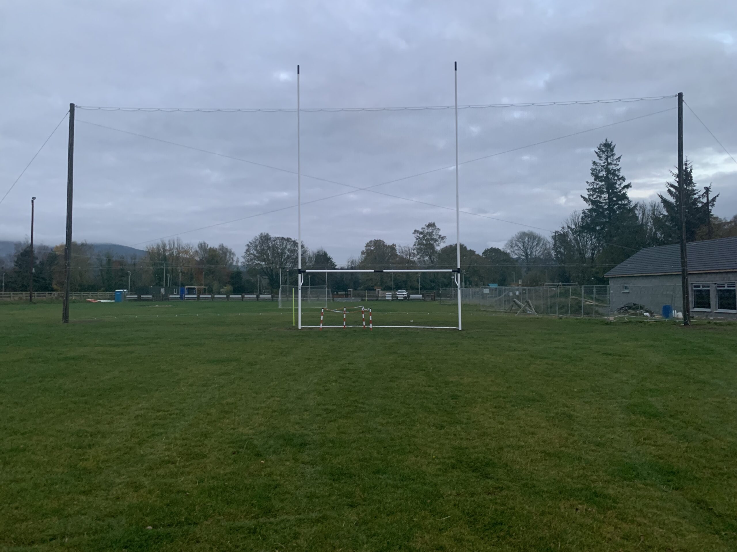 Kilbride GAAGAA ground · 1.1 mi
 The ManorHouse · 1.1 mi
Explorer Tom The Manor in Kilbride is a Tudor Revival show-off with so many gables it looks like it’s trying to juggle its own roof…
 CastleCastle, tower house · 1.4 mi
Explorer Tom Threecastles has three castles in the name but only one is really trying, sitting on a slope overlooking the Liffey…
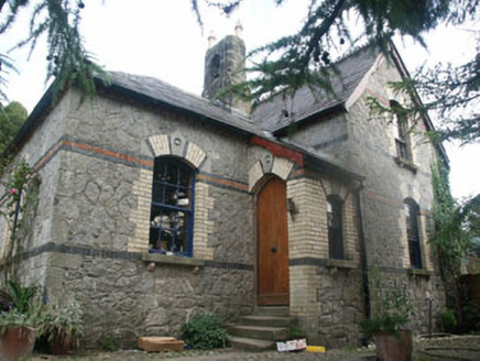 Tinode HouseWorker's house · 2.4 mi
Explorer Tom Tinode House has a hidden treasure that is definitely a biscuit tin left behind by a previous tenant. This c.1870s…
 June Blake's GardenGarden · 2.4 mi
Explorer Tom June Blake's Garden at Tinode began with a sheep paddock and grew into three acres that seem to have quietly outwitted…
 Sorrel HillMountain / peak · 2.6 mi
Explorer Tom Sorrel Hill in County Wicklow is playing hard to get, giving up its best views for Lent and keeping them locked away…
 Rath Turtle MoatFairy fort / ringfort · 4.4 mi
Explorer Tom Rath Turtle Moat sounds like a creature that sleeps for centuries, and honestly, given how high its platform is, I’d…
 Black HillMountain / peak · 4.4 mi
Explorer Tom Black Hill is named after a poet who fell in a ditch nearby while trying to write a sonnet about rain. The hill just…
 Hampden Bomber Crash 18 April 1941Monument · 4.4 mi
Explorer Tom Hampden Bomber Crash 18 April 1941 in County Wicklow is where a plane decided gravity was a personal insult on a very…
 Sessile Oak20 mi
Explorer Tom Sessile Oak in County Wicklow holds the unofficial world record for looking the most bored while standing perfectly…
More archaeology and monuments in County Wicklow · All of County Wicklow

What do you know about this place?Tap to add a comment or ask a question