What is recorded here
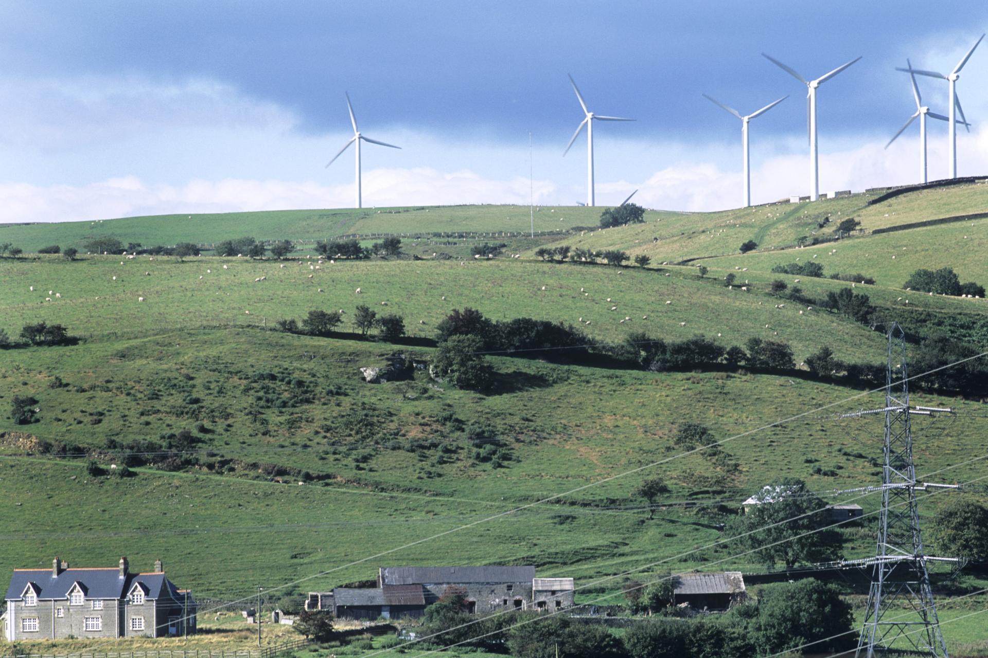
Situated on the summit of a hill known locally as 'The Hill of Mael' with panoramic views of the surrounding countryside in all directions. Cashel (WM003-008----) standing inside a large possible trivallate hillfort (WM003-008001-) with possible prehistoric meandering field system running across the hill. The remains of two meandering drystone field walls radiate out from the cashel (WM003-008---) at NNE and NNW. Field wall A (L 113m) runs off the NE face of cashel wall and runs from SW-NE. Field wall B (L 190m) runs off N face of cashel and is orientated on a SE-NW axis. A third meandering drystone field wall B (L 270m) runs SE-NW across the W facing slope of the hill with a fourth drystone field wall D (L 235m) located 250m to W which runs from SE-NW. The meandering field walls are clearly visible on Digital Globe aerial photograph taken November 2011 and are clearly different from the straight running post-1700 field walls visible on aerial photographs.
Compiled by: Caimin O'Brien
Date of upload: 23 November 2017
The monument record does not grant public access. Check the route and ask the landowner before entering private land.
- What survives
- Recorded monument
Places near here
 The Hill of MaelFairy fort / stone ringfort · 119 yd
 Dermot & Grania's BedArchaeological place · 418 yd
 Castle (in Ruins)Castle, unclassified · 1085 yd
 Rock of CurryCliff · 1199 yd
 Church (in Ruins)Church · 1.0 mi
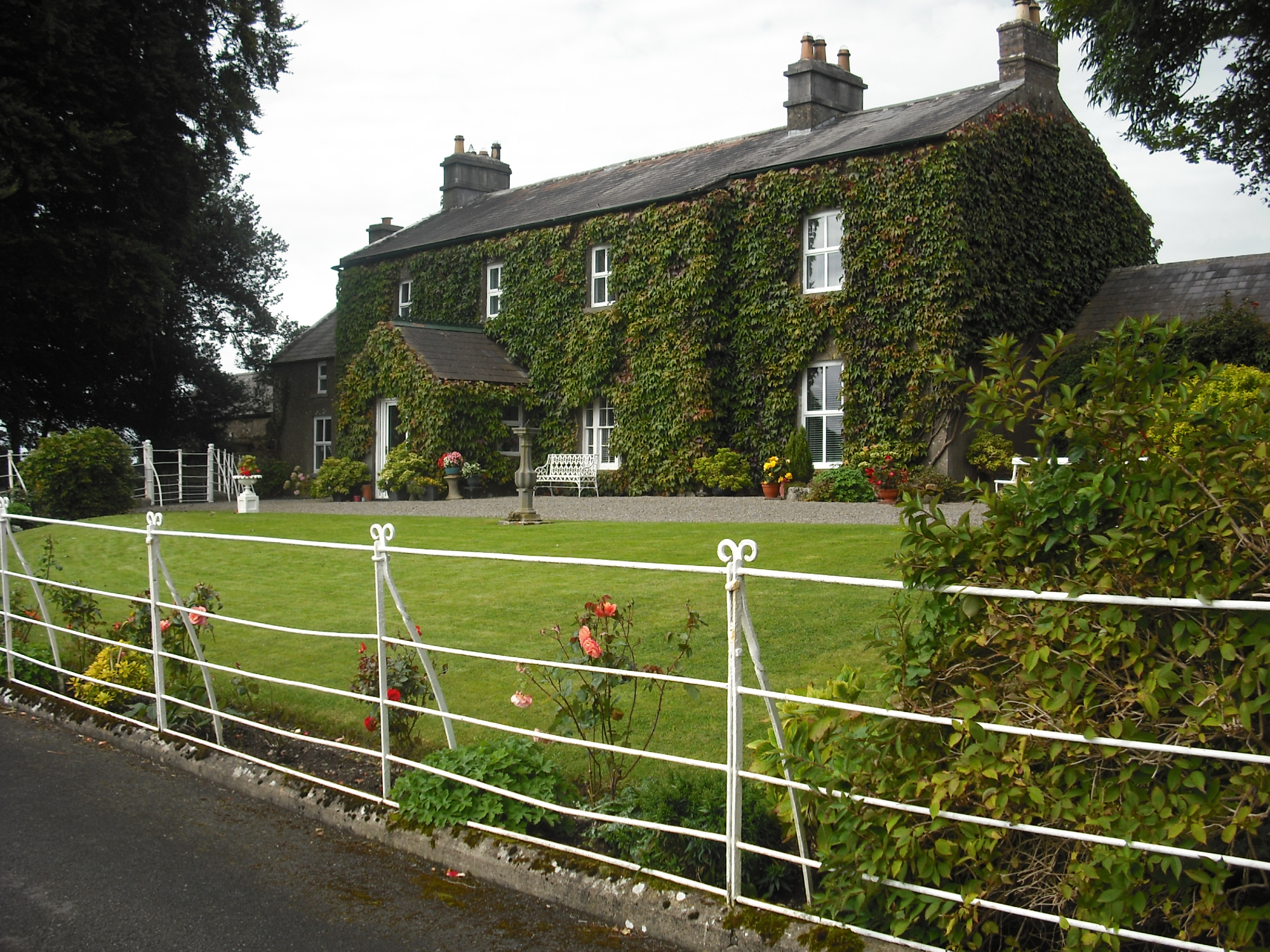 Carlanstown Housefarm house · 1.1 mi
 Carlanstown CastleHouse, fortified house · 1.2 mi
 Mullaghmeen White WalkWalking route · 1.8 mi
 Mullaghmeen ForestPicnic place · 1.8 mi
 Mullaghmeen Red WalkWalking route · 1.8 mi
 MullaghmeenMountain / peak · 2.0 mi
 European ashEuropean ash · 2.9 mi
Other information
Photo: Credit not shown in the picture search · Rights wording not checked; contact us if this picture should be removed