
What is recorded here
Detached two-storey corn mill on L-shaped plan, built c.1810 and altered c.1900. Restored c.2000 and now in use as a private house. Joint lines along structure indicate that section to south is a later extension. Pitched artificial slate roof with raised rendered verges. Constructed of coursed rubble limestone. Square-headed openings having replacement timber casement windows and timber sheeted doors. Restored cast-iron waterwheel to west side, set into original cast-iron overshot watercourse. Remains of single-storey rubble limestone outbuilding to the southwest having pitched corrugated-iron roof over and square-headed openings. Ruins of a small corn kiln remain to the north and silted-up mill pond to the southeast. Original millrace ran from pond to the southeast, over wheel and through culvert under the road and away to the northwest. Located to the southeast of Finnea close to border with Co. Meath to the east.
A highly picturesque, small-scale early nineteenth-century corn mill, which retains its early character despite recent alterations. The construction in local unrefined limestone rubble lends this building an appealing vernacular appearance. This mill was a small local venture and was on a much lesser scale in comparison to the large merchant corn mills along the River Brosna to the south of the county. It is still possible to trace the original water powered system from the former millpond to the southwest along the headrace and over the waterwheel. The limestone and cast-iron fittings to the overshot water wheel are an interesting survival and give an insight into the past industrial mechanisms associated with the corn milling process. This small mill was probably built in the early nineteenth-century, a period of when the Irish corn milling industry experienced a great boom and remains a interesting element of the industrial heritage of Westmeath, along with the ancillary structures and the original water courses and mill pond.
From the Buildings of Ireland (National Inventory of Architectural Heritage) record 15400111
This does not grant access. Most recorded buildings are privately owned; view them only from public ground unless the owner allows entry.
Places near here
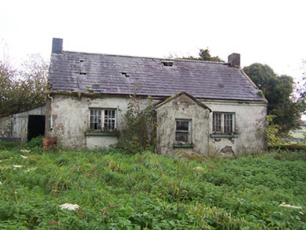 Tullystown National SchoolSchool · 1305 yd
 MullaghmeenMountain / peak · 1439 yd
 Mullaghmeen White WalkWalking route · 1496 yd
 Saint Michael's Catholic ChurchPresbytery/parochial/curate's house · 1.0 mi
 Mullaghmeen Red WalkWalking route · 1.1 mi
 Mullaghmeen ForestPicnic place · 1.4 mi
 Ross CastleCastle, tower house · 2.8 mi
 European Beech3.5 mi
 Myles O'Reilly MonumentMemorial · 3.8 mi
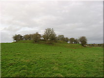 Fairy fort / earthen ringfort in Garrysallagh (o'reilly)Fairy fort / earthen ringfort · 4.3 mi
 European ash4.3 mi
 CastleCastle, motte and bailey · 4.4 mi
Pictures: National Inventory of Architectural Heritage; Gavigan 01 at English Wikipedia, Wikimedia Commons · CC BY 2.5; Colin Park, Geograph · CC BY-SA 2.0; Britishfinance, Wikimedia Commons · CC BY-SA 4.0; Mike Searle, Geograph · CC BY-SA 2.0; Malene Thyssen, Wikimedia Commons · CC BY-SA 3.0; Cavanphotography, Wikimedia Commons · CC BY-SA 4.0; Kieran Campbell, Geograph · CC BY-SA 2.0; Willow, Wikimedia Commons · CC BY 2.5
More historic places in County Westmeath · All of County Westmeath
What do you know about this place?