What is recorded here
Situated on a low natural rise of ground in well drained pasture-land with good views of the surrounding countryside. Roughly oval-shaped area (diam. 34.5m E-W; 37m N-S) enclosed by a well preserved earth and stone bank with wide deep external fosse best preserved at N, with causewayed entrance gap (top Wth 7m; base Wth 0.9m) at ESE. The interior of the ringfort slopes very slightly from NW to SE with a rise towards the centre. Outside the fosse from S-SW there is a narrow almost level zone of ground and outside this is a steep scarp-like feature which merges into the natural slopes of the natural rise at both ends. It is difficult to determine the significance of this.
See attached profile of monument surveyed and drawn by the ASI.
Compiled by: Frank Coyne & Caimin O'Brien
Date of upload: 16 November 2016
The monument record does not grant public access. Check the route and ask the landowner before entering private land.
- What survives
- Recorded monument
Places near here
 Site of CastleCastle, unclassified · 335 yd
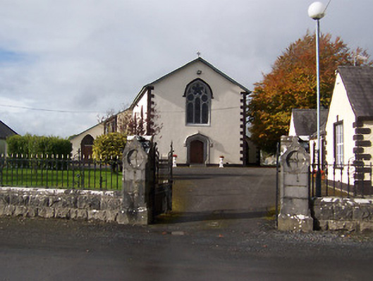 Saint Michael's Catholic Churchchurch/chapel · 840 yd
 Balnacart Millmill (water) · 1027 yd
 IndicatedFairy fort / earthen ringfort · 1060 yd
 CastleCastle, motte · 1106 yd
 Enclosure in FoyranEnclosure · 1206 yd
 MullaghmeenMountain / peak · 1.4 mi
 Mullaghmeen White WalkWalking route · 1.4 mi
 Rock of CurryCliff · 1.6 mi
 Mullaghmeen Red WalkWalking route · 1.6 mi
 Mullaghmeen ForestPicnic place · 1.9 mi
 Fox CovertForest · 2.6 mi