
What is recorded here
Castletown Upper hides a vanished castle because surveyors marked the wrong field, forcing the true structure to disappear beneath ordinary buildings and forgotten streets. In 1837 an old castle in ruins still stood somewhere near the cluster of houses, but later bulldozers and ploughs scraped the mistaken earth clean of walls or foundations. The mistake itself became the fate of the place: a castle not destroyed by war or time, but erased by a line drawn slightly askew on a map.
Site of levelled castle is marked at the wrong location on the revised editions of the OS 6-inch and 25-inch maps. Castle site of is marked on the first ed. OS 6-inch map in an area occupied by a cluster of buildings and not in the field to the SW where the Ordnance Survey have mistakenly shown the location of the castle site. No surface remains visible of any castle in area marked on six-inch map. In 1837 the castle was described in the Ordnance Survey memoranda as 'an Old Castle in Ruins' (SMR file). This castle may have been located in the area where a cluster of buildings are depicted on the first ed. OS 6-inch map. A small square shaped building depicted on this map may have been the castle building mentioned in the OS memoranda.
The area where the castle is marked on the revised 1911 ed. OS 25-inch map was visited by the ASI in 1981 when land reclamation works were being carried out in the area marked on the OS map. At this time the ASI survey recorded that the site was visited 'while bulldozing operations to remove field fence were in progress. There is no indication in the disturbed band of earth of the former existence of a castle there. A no. of stones are visible but none of these appear to be building stones. There are no traces of walls or foundations visible. The landowner informed me that he has ploughed all the fields in the immediate vicinity with a horse-drawn plough in the past & no trace of a castle has ever turned up’ (ASI Field Report 24/02/1981).
Compiled by: Caimin O'Brien
Date of upload: 16 November 2016
The monument record does not grant public access. Check the route and ask the landowner before entering private land.
- What survives
- Recorded monument
Places near here
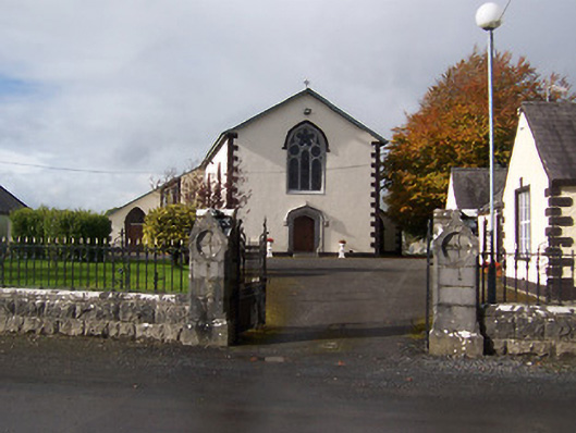 Saint Michael's Catholic Churchchurch/chapel · 508 yd
 IndicatedFairy fort / earthen ringfort · 863 yd
 Castletown Houseworker's house · 952 yd
 CastleCastle, motte · 987 yd
 Castle (in Ruins)Castle, unclassified · 1434 yd
 Enclosure in FoyranEnclosure · 1489 yd
 Rock of CurryCliff · 1.5 mi
 MullaghmeenMountain / peak · 1.6 mi
 Mullaghmeen White WalkWalking route · 1.6 mi
 Mullaghmeen Red WalkWalking route · 1.8 mi
 Mullaghmeen ForestPicnic place · 2.1 mi
 Fox CovertForest · 2.7 mi
Other information
Photo: Credit not shown in the picture search · Rights wording not checked; contact us if this picture should be removed