
What is recorded here
Situated on top of a drumlin-like ridge running NW-SE overlooked by higher ridge to W. No surface remains visible of moument on Digital Globe aerial photographs taken November 2011. Monument described by ASI in 1973 as 'small almond shaped enclosure (dims. 15m NE-SW x 9m NW-SE) bounded by a slight bank (Wth 2.8m; H 0.35m) with vague suggestion of a fosse outside it. The long axis is NE-SW and the short axis is NW-SE. The interior is smooth and almost level. No visible trace of an entrance but the bank is very slight' (ASI Field Report 30/07/1973).
Compiled by: Frank Coyne & Caimin O'Brien
Date of upload: 18 November 2016
A local fairy fort (ringfort/rath); wider significance not recorded.
This remains an important historical record, but the official description says the monument is no longer visible or has been destroyed. The monument record does not grant public access. Check the route and ask the landowner before entering private land.
- What survives
- No visible remains or recorded as destroyed
Places near here
 The Rose WellHoly well · 408 yd
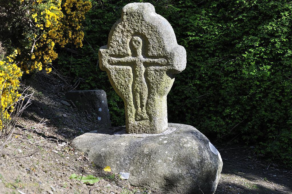 CrossCross, Wayside cross · 449 yd
 Castle (in Ruins)Castle, unclassified · 696 yd
 Church (in Ruins)Church · 738 yd
 Balnacart Millmill (water) · 782 yd
 Site of CastleCastle, unclassified · 1490 yd
 Mullaghmeen White WalkWalking route · 1707 yd
 Mullaghmeen Red WalkWalking route · 1.1 mi
 MullaghmeenMountain / peak · 1.1 mi
 Mullaghmeen ForestPicnic place · 1.3 mi
 Rock of CurryCliff · 1.5 mi
 Fox CovertForest · 3.0 mi
Other information
Photo: Credit not shown in the picture search · Rights wording not checked; contact us if this picture should be removed