DDiscover AloneMapAbout

Cross in Foyran

Cross, Wayside cross

What is recorded here

Drawn by Du Noyer in the 19th century (George Victor Du Noyer, “Small cross of road side Td. Of Foyran. 300 yards WNW of the old church. Co. W Meath. Sheet 1/4,” Royal Society of Antiquaries of Ireland, accessed January 22, 2020, http://rsai.locloudhosting.net/items/show/23442.). Described in 1928 as 'A plain cross…

Read the whole record
Drawn by Du Noyer in the 19th century (George Victor Du Noyer, “Small cross of road side Td. Of Foyran. 300 yards WNW of the old church. Co. W Meath. Sheet 1/4,” Royal Society of Antiquaries of Ireland, accessed January 22, 2020, http://rsai.locloudhosting.net/items/show/23442.). Described in 1928 as 'A plain cross 3ft. 6in. (1.05m) in height with an unpierced ring similar to No. 1 (WM001-035----). It is unbroken, and stands on the west fence of the road one eight of a mile N.W. of Foyran Church (WM001-042----)' (Crawford 1928, 57, No. 2). Visited and described in 1980 as 'A limestone cross (H 0.91m; T 0.16m) with a solid ring-head (diam. 0.52m). The cross is made from a single piece of stone and it is set in the outer edge of the top of a broad field bank (NW-SE) on the SW side of the modern roadway a short distance (c.250m) W of Foyran Church (WM001-042----). There is no sign of a base, the cross shaft appears to be set into the bank itself. The SW face of the cross is damaged slightly just above the ring but otherwise the cross is in good condition. The arms are short (L 0.12m) and the shaft tapers in width from the bottom (Wth 0.24m) upwards (top Wth 0.21m). It is not now possible to determine the height of the cross. The cross is plain with no sign of carving or decoration' (SMR file). This cross is described in the OS Field Name Books of 1837 as the 'Remains of an old cross placed in the fence on the roadside opposite the old church of Foyran. The upper portions of it are all that remain' (SMR file). Wayside Cross (WM001-041----) which is similar in shape and size located 220m to SE. Church and graveyard (WM001-042----/042001-) located 240m to SE, holy well (WM001-043----) located c.500m to SE.

From the National Monuments Service (Archaeological Survey of Ireland) record WM001-040

The monument record does not grant public access. Check the route and ask the landowner before entering private land.

What do you know about this place?Tap to add a comment or ask a question

What you write will be public.

Places near here

Photo credits
  • National Inventory of Architectural Heritage
  • Colin Park, Geograph · CC BY-SA 2.0
  • Gavigan 01 at English Wikipedia, Wikimedia Commons · CC BY 2.5
  • Britishfinance, Wikimedia Commons · CC BY-SA 4.0
  • Peggy Ashby, Geograph · CC BY-SA 2.0
Balnacart MillMill (water) · 1054 yd

Explorer Tom Balnacart Mill would spill the beans after two pints, revealing it actually runs on pure spite and old water. It’s tiny…

Mullaghmeen White WalkWalking route · 1489 yd

Explorer Tom The Mullaghmeen White Walk has a secret it would tell after a few pints, but it’s too shy to say it out loud. It’s all…

Mullaghmeen Red WalkWalking route · 1590 yd

Explorer Tom The Mullaghmeen Red Walk hosted a dance that went so far that someone ended up married to a tree. The way markers are…
MullaghmeenMountain / peak · 1.1 mi

Explorer Tom Mullaghmeen is Westmeath's highest hill and Ireland's lowest county top, a title I would defend with a very small flag.…

Mullaghmeen ForestPicnic place · 1.1 mi

Explorer Tom Mullaghmeen Forest’s name basically means “The Hill Where The Sheep Went To Die” if you squint really hard at the map.…
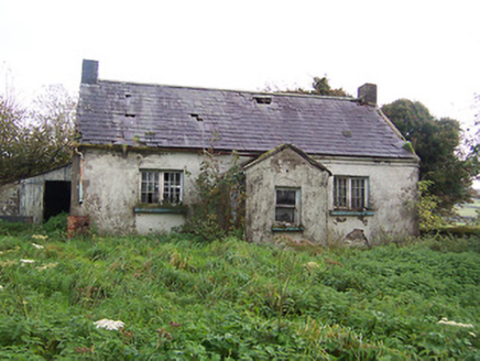
Tullystown National SchoolSchool · 1.3 mi

Explorer Tom Tullystown National School in Tullystown is having a serious feud with the rain. It’s been out of use for ages, so the…

Saint Michael's Catholic ChurchPresbytery/parochial/curate's house · 1.4 mi

Explorer Tom Saint Michael's Catholic Church in Castletown Lower looks suspiciously like a schoolhouse, which makes sense because…

Castletown HouseWorker's house · 1.6 mi

Explorer Tom Castletown House in Castletown Lower thinks all those Dublin tourists are just noisy pigeons with bad accents who don't…
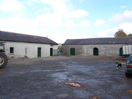
Carlanstown HouseFarmyard complex · 1.7 mi

Explorer Tom Carlanstown House is basically a castle that lost its sense of direction and ended up as a farmyard. The 1813 doorcase…

Ballynascarry HouseFarm house · 1.7 mi

Explorer Tom Ballynascarry House has a fox who took full charge of the place last Tuesday, wearing a tiny hat and making decisions…

Tullystown HouseOutbuilding · 1.8 mi

Explorer Tom Tullystown House in Tullystown has outbuildings that look like they’re holding hands to keep from collapsing into a…
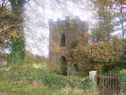
Togher Church (Foyran)Church/chapel · 2.4 mi

Explorer Tom Togher Church in Foyran would say in a job interview that it has excellent experience in being forgotten, which is…

More archaeology and monuments in County Westmeath · All of County Westmeath

Add to this placeAdd a picture Add a detailed tip Add a story

Explore the map1,095,414 places to discover

Next place · or swipeBalnacart Mill