
What is recorded here
Situated in a low-lying flat poorly drained land, with stream 15m to S. Foyran Church (WM001-042----) and graveyard (WM001-042001-) 500m to ENE. Only a shallow marshy depression (diam. 3m) marks the site of the well marked as 'The Rose Well' on the 1911 ed. OS 25-inch map. There are no stones visible or any evidence of a structure associated with this well. In 1837 the Ordnance Survey field Name Books recorded that this well was known locally as 'The Rose Well' or ‘Tobernaroagh’, which at that time was described as 'a small well nearly closed up supposed to cure a disease called ‘the rose’ which was a swelling of the joints' (ASI File).
Compiled by: Frank Coyne & Caimin O'Brien
Date of upload: 18 November 2016
Linked to Saint Foyran, the well is traditionally associated with cures for skin ailments and general healing. Local folklore suggests that the waters, though marshy, were once clearer and were used in seasonal rituals involving rose petals, symbolizing purity and renewal.
The monument record does not grant public access. Check the route and ask the landowner before entering private land.
- What survives
- Recorded monument
Places near here
 OutlinedFairy fort / ringfort · 247 yd
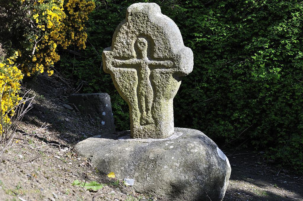 CrossCross, Wayside cross · 352 yd
 Church (in Ruins)Church · 570 yd
 Castle (in Ruins)Castle, unclassified · 602 yd
 Balnacart Millmill (water) · 1178 yd
 Site of CastleCastle, unclassified · 1.0 mi
 Mullaghmeen White WalkWalking route · 1.0 mi
 Mullaghmeen Red WalkWalking route · 1.1 mi
 MullaghmeenMountain / peak · 1.2 mi
 Mullaghmeen ForestPicnic place · 1.2 mi
 Rock of CurryCliff · 1.4 mi
 Fox CovertForest · 3.3 mi
Other information
Photo: Credit not shown in the picture search · Rights wording not checked; contact us if this picture should be removed