
What is recorded here
From the National Monuments Service (Archaeological Survey of Ireland) record CO026-037001
Places near here
Photo credits
- Maker not stated on source page, pixels.com
- National Inventory of Architectural Heritage
- Maker not stated on source page, www.youtube.com
- Maker not stated on source page, www.alamy.com
- liam murphy, Geograph · CC BY-SA 2.0
- Martin Walsh / EchoLive, www.echolive.ie
- Maker not stated on source page, ru.pinterest.com
 Fairy fort / earthen ringfort in SkenakillaFairy fort / earthen ringfort · 979 yd
Explorer Tom Fairy fort in Skenakilla is proud of its low grassy bank and its neighbor across the slope. They probably argue about…
 Griffin'sHouse · 1004 yd
Explorer Tom Griffin's in Ballydaheen is a house and public house, which is basically a pub with commitment issues. It has chamfered…
 Johnsgrove HouseHouse · 1411 yd
Explorer Tom Johnsgrove House in Ballygown refuses to fall down because it’s too busy judging everyone else. Those limestone steps…
 Enclosure in BallyhimockEnclosure · 1.3 mi
Explorer Tom Enclosure in Ballyhimock is an incomplete cropmark that looks like someone started drawing a circle and ran out of…
Enclosure in Annakisha SouthEnclosure · 1.4 miExplorer Tom This Annakisha South enclosure is basically a ghost, visible only as a cropmark on your phone, which feels deeply…
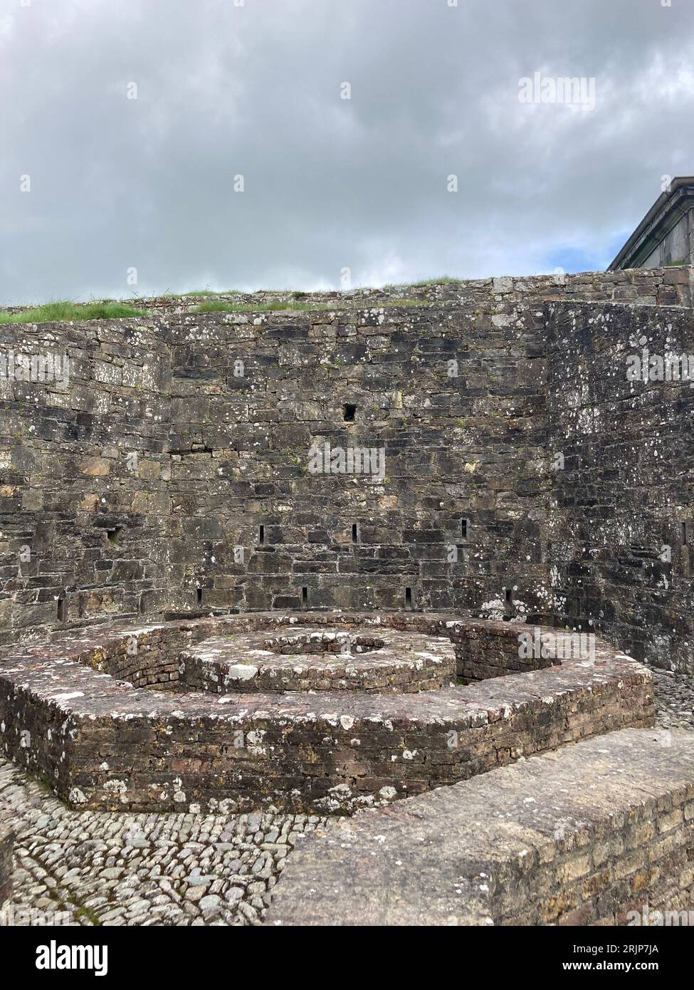 Fairy fort / earthen ringfort in Annakisha SouthFairy fort / earthen ringfort · 1.4 mi
Explorer Tom Fairy fort / earthen ringfort in Annakisha South is currently hiding under a field of crops, playing hide-and-seek with…
 Saint Craunacht's Roman Catholic ChurchMonument · 1.6 mi
Explorer Tom Saint Craunacht's Roman Catholic Church grounds hold a monument to Tom Barry, complete with a copper portrait in…
 Saint Craunacht's ChurchChurch/chapel · 1.6 mi
Explorer Tom Saint Craunacht's Church has a reredos that is unusually elaborate, like it's trying too hard to impress. Built in…
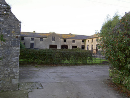 Castle KevinFarmyard complex · 1.6 mi
Explorer Tom Castle Kevin is a farmyard complex with arches that are showing off their fine craftsmanship. The overlights on the…
 Doneraile ParkDemesne walls/gates/railings · 1.6 mi
Explorer Tom Doneraile Park gates are playing posh with all that cut limestone and scrollwork. They used to lead to a bridge over…
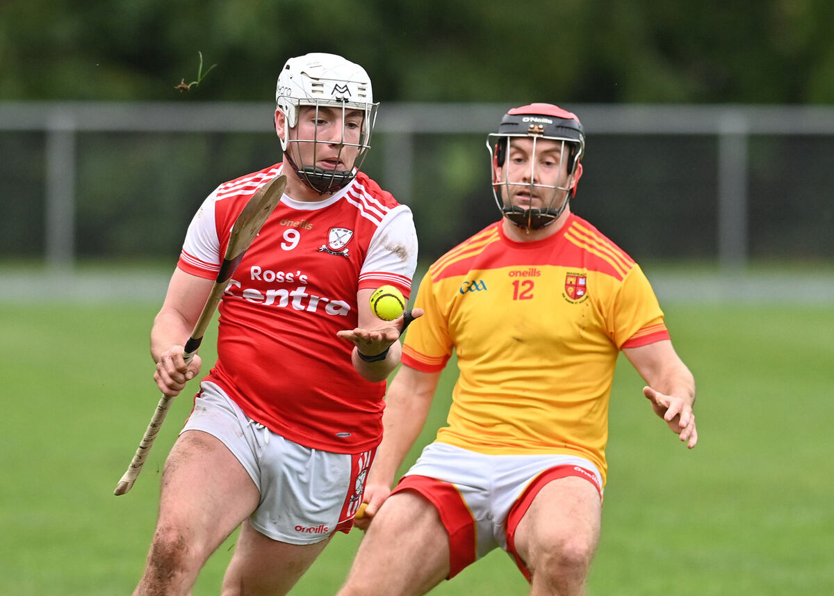 Castletownroche GAA pitchGAA ground · 2.0 mi
 Castle CuriousCastle, unclassified · 2.2 mi
Explorer Tom Castle Curious in Doonawanly was built by Johnny Roche, an eccentric who slapped a 1870 date on it because he liked…
More archaeology and monuments in County Cork · All of County Cork

What do you know about this place?Tap to add a comment or ask a question