What is recorded here
Situated on a level low-lying landscape with the NNE-SSW Ballycarron River, a tributary of the SE-NW Blackwater River, c. 50m to the SE. The cropmarks of two large subrectangular enclosures (dims c. 200m NE-SW, c. 80m NW-SE) defined by what are probably field banks, are visible on an oblique aerial photograph (CUCAP: AVO 73). These are probably fields with a passage between them that is probably a wide drain. They do not appear on any other aerial images.
The above description is derived from the published 'Archaeological Inventory of County Meath' (Dublin: Stationery Office, 1987). In certain instances the entries have been revised and updated in the light of recent research.
Compiled by: Michael Moore
Date of revision: 14 August 2019
The monument record does not grant public access. Check the route and ask the landowner before entering private land.
- What survives
- Recorded monument
Places near here
 EnclosureEnclosure, large enclosure · 527 yd
 Grave YardGraveyard · 798 yd
 Cloncurry MoatCastle, motte · 803 yd
 European ashEuropean ash · 803 yd
 Cloncurry GraveyardHeritage attraction · 815 yd
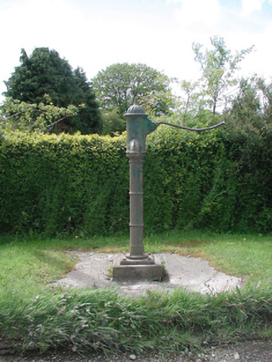 water pumpwater pump · 833 yd
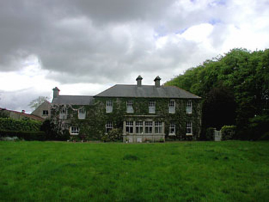 Ballyvoneen Househouse · 1053 yd
 Old Bog Road made famous by Teresa Bryton 1868-1943Memorial · 1.7 mi
 Site of Dunfierth CastleCastle, unclassified · 2.0 mi
 The Grill ShackHeritage attraction · 4.0 mi
 Wych ElmWych Elm · 4.3 mi
 9/11 MemorialMemorial · 5.2 mi