What is recorded here
In rough upland pasture, on top of a heather and gorse-covered rise on the lower NE-facing slopes of Knockbrack Mountain. The remains of a curvilinear stone wall (T 0.6m; H 0.5m) protrude above the surface of the bog and extend to the S from an enclosure (KE094-015001-) for a distance of c. 40m. A second wall of similar type extends to the N from the enclosure for c. 50m. The stones in the wall are mainly large and are partially obscured by overgrowth.
The above description is derived from the published 'Archaeological Inventory of County Kerry. Volume I: South-West Kerry' (Dublin: Stationery Office, 2009). In certain instances the entries have been revised and updated in the light of recent research.
Date of upload: 30 May 2011
The monument record does not grant public access. Check the route and ask the landowner before entering private land.
- What survives
- Recorded monument
Places near here
 Sheep FoldEnclosure · 401 yd
 SheepfoldEnclosure · 550 yd
 KnockbrackMountain / peak · 1574 yd
 OutlinedKiln, lime · 1576 yd
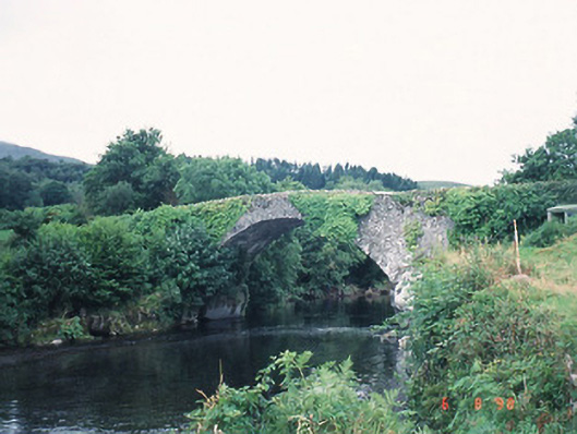 Ardtully Old Bridgebridge · 1.0 mi
 Castle (Site of)Castle, unclassified · 1.1 mi
 European YewEuropean Yew · 1.1 mi
 Battle of Callannbattle · 1.2 mi
 Kilgarvan Motor MuseumMuseum · 1.4 mi
 Great Southern & Western RailwayMemorial · 1.6 mi
 Knockbrack South TopMountain / peak · 1.7 mi
 Shanagarry Castle (Site of)Castle, unclassified · 3.0 mi