What is recorded here
According to local information, low ruinous walls exposed on N side of Doughill Mountain after turf cutting c. 1939-43. Exact location not known.
The above description is derived from the published 'Archaeological Inventory of County Cork. Volume 3: Mid Cork' (Dublin: Stationery Office, 1997). In certain instances the entries have been revised and updated in the light of recent research.
Date of upload/revision: 14 January 2009
The monument record does not grant public access. Check the route and ask the landowner before entering private land.
- What survives
- Recorded monument
Places near here
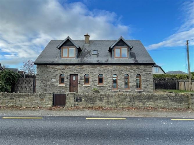 Enclosure in Gort An PhludaighEnclosure · 1142 yd
 Clapper bridge in Ros An LochaClapper bridge · 1.1 mi
 Structure in GrousemountStructure · 1.1 mi
 Gougane BarraValley and heritage place · 1.3 mi
 European ashEuropean ash · 1.3 mi
 Aireagal Naomh Finbarr [Saint Finbarr's Oratory]church/chapel · 1.4 mi
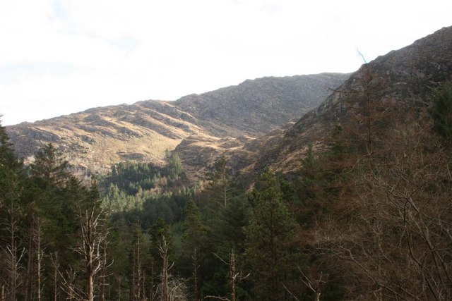 BealickMountain / peak · 2.2 mi
 Carran Far NE TopMountain / peak · 2.6 mi
 Sli Gaeltacht MuscraiWalking route · 4.6 mi
 CaoinkeenCliff · 5.9 mi
 Kilgarvan Motor MuseumMuseum · 6.1 mi
 Battle of Callannbattle · 6.3 mi