
What is recorded here
Crossing Owennashrone River just before it enters Gouganebarra Lake to W; connecting residential houses (to NNW) with roadway (to E). Large rough boulders support 9 bridging slabs (L 1.3m - 2.6m) for a distance of 12m; three slabs on dry land.
The above description is derived from the published 'Archaeological Inventory of County Cork. Volume 3: Mid Cork' (Dublin: Stationery Office, 1997). In certain instances the entries have been revised and updated in the light of recent research.
Date of upload/revision: 14 January 2009
The monument record does not grant public access. Check the route and ask the landowner before entering private land.
- What survives
- Recorded monument
Places near here
 Gougane BarraValley and heritage place · 416 yd
 European ashEuropean ash · 499 yd
 Aireagal Naomh Finbarr [Saint Finbarr's Oratory]church/chapel · 506 yd
 Gouganebarra Church (in Ruins)Hermitage · 513 yd
 Grave YdGraveyard · 548 yd
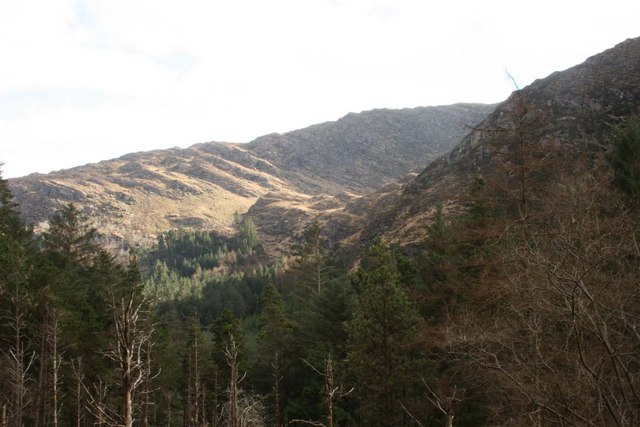 BealickMountain / peak · 1.5 mi
 FoilastookeenMountain / peak · 1.5 mi
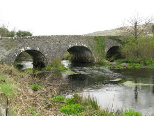 Inchinossig Bridgebridge · 3.2 mi
 CaoinkeenCliff · 5.1 mi
 Sli Gaeltacht MuscraiWalking route · 5.7 mi
 Kilgarvan Motor MuseumMuseum · 6.0 mi
 St Finbarr's Pilgrim RouteWalking route · 6.1 mi
Other information
Photo: Credit not shown in the picture search · Rights wording not checked; contact us if this picture should be removed