What is recorded here
Not included in the SMR (1989) but listed in the RMP (1995) and classified 'House Site Possible'. Within Arnasbrack cashel (SL021-046002-). This feature was described in 1992 as the rectangular outline (8m NE-SW; 5.5m NW-SE) of a possible structure (SMR (1989) file). During a subsequent inspection (25/11/2002) it was recorded that what was previously mistaken as a hut site may, in fact, be later field boundaries. These field boundaries are described as a faint linear cropmark traversing the E edge of the interior on a NNW-SSE axis and intersecting at the N end with a perpendicular line that can be traced for c. 10m to WSW across the N of the interior. These features may be the remains of later field boundaries. An aerial photograph (IASAP, 3043089-90) confirms this. These are probably post-1700 AD in date.
Compiled by: Archaeological Survey Unit, UCC
Date of upload: 11 January 2012
The monument record does not grant public access. Check the route and ask the landowner before entering private land.
- What survives
- Recorded monument
Places near here
 Cliff-edge fort in ArnasbrackCliff-edge fort · 1 yd
 Castle (in Ruins)Castle, tower house · 246 yd
 Sweathouse in KilrossSweathouse · 278 yd
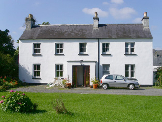 Arnasbrack Househouse · 467 yd
 CastleCastle, motte · 946 yd
 Giants GraveArchaeological place · 947 yd
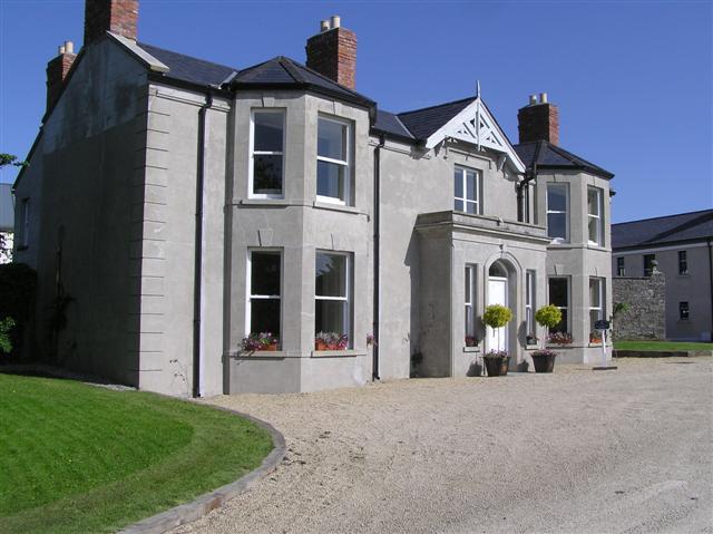 Castle Darganhouse · 1164 yd
 Field MapleField Maple · 2.3 mi
 European ashEuropean ash · 2.4 mi
 Bunowen BayBay · 2.8 mi
 Glynn IslandIslet · 2.8 mi
 Slishwood Island WestIslet · 2.8 mi