What is recorded here
On the top of an E-W ridge at the edge of a N-facing limestone bluff overlooking Lough Dargan. A slightly raised roughly D-shaped area (dims. c. 30m ENE-WSW) with a straight N side (L 30m). The interior is defined on the straight side by the bluff and elsewhere by a ruined stone wall. The wall survives as a sod-covered stone bank (Wth c. 1.7m; int. H 0.5m; ext. H 0.65m) but stones protruding in parts indicate that it is composed of a rubble core with internal and external stone facing. It is best-preserved NE-S but is very degraded and broken by numerous gaps SW-NW. The interior is level but uneven, broken by E-W bands of limestone pavement. A faint linear cropmark crosses the E edge of the interior on a NNW-SSE axis intersecting at the N end with a perpendicular line that can be traced for c. 10m to WSW across the N of the interior. These features may be the remains of later field boundaries. The cashel is located towards the W end of the cliff at a point where a series of broken terraces allow access to the base of the cliff and from there to the lakeshore. A cashel (SL021-046003-) is visible on a lower undulation of the same ridge c. 150m to SW.
On the top of an E-W ridge at the edge of a N-facing limestone bluff overlooking Lough Dargan. A slightly raised roughly D-shaped area (dims. c. 30m ENE-WSW) with a straight N side (L 30m). The interior is defined on the straight side by the bluff and elsewhere by a ruined stone wall. The wall survives as a sod-covered stone bank (Wth c. 1.7m; int. H 0.5m; ext. H 0.65m) but stones protruding in parts indicate…
From the National Monuments Service (Archaeological Survey of Ireland) record SL021-046002
The monument record does not grant public access. Check the route and ask the landowner before entering private land.
- What survives
- Recorded monument
Places near here
Photo credits
- National Inventory of Architectural Heritage
- Richard Webb, Geograph · Creative Commons Attribution-ShareAlike 2.0
- Wanfried-Dublin, Wikimedia Commons · CC BY-SA 4.0
- Kenneth Allen, Geograph · CC BY-SA 2.0
- Mike Searle, Wikimedia Commons · CC BY-SA 2.0
- David Perez, Wikimedia Commons · CC BY 3.0
- SE Keenan, Wikimedia Commons · CC BY-SA 4.0
- Willow, Wikimedia Commons · CC BY 2.5
- GTD Aquitaine, Wikimedia Commons · Public domain
- Djedi Guy, Wikimedia Commons · CC BY-SA 4.0
- D Gore, Geograph · CC BY-SA 2.0
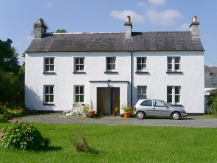 Arnasbrack HouseHouse · 467 yd
 Graveyard800 yd
 Giants GraveArchaeological place · 947 yd
 Druids AltarCourt tomb · 983 yd
 Castle DarganHouse · 1164 yd
 Drumcondra Castle (in Ruins)Castle, tower house · 1.2 mi
 Field Maple2.3 mi
 Markree CastleCastle · 2.4 mi
 European ash2.4 mi
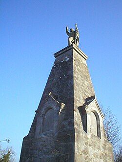 Battle of CollooneyBattle · 3.0 mi
 Teeling MonumentMemorial · 3.0 mi
 Green IslandIslet · 3.0 mi
More archaeology and monuments in County Sligo · All of County Sligo
What do you know about this place?