What is recorded here
That is a fairy fort, a stone ringfort on a gentle southwest-facing slope in County Longford. Its circular ground is forty-three metres across, bounded partly by a collapsed stone wall and partly by a scarp, while the entrance has vanished without a trace. A shallow L-shaped depression sits northeast of the centre, waiting to be understood. The fort is not grand, but it is exact: a small circle of stone, earth and forgetting, still holding its shape in pasture.
On a gentle SW-facing slope in pasture. A raised circular area (diam. c. 43m) enclosed from NE-E-SSE by a collapsed stone wall (Wth 2.5m; H 0.2m) and defined from SSE-S-SW by a scarp (H 1m). Elsewhere a low rise indicates its outline. There is no trace of a fosse and the original entrance is not recognisable. A report in 1976 (SMR file) recorded a shallow L-shaped depression, of unknown significance, to the NE of the centre of the interior.
Compiled by: Patrick F. O'Donovan
Date of upload: 26 November 2011
This remains an important historical record, but the official description says the monument is no longer visible or has been destroyed. The monument record does not grant public access. Check the route and ask the landowner before entering private land.
- What survives
- No visible remains or recorded as destroyed
Places near here
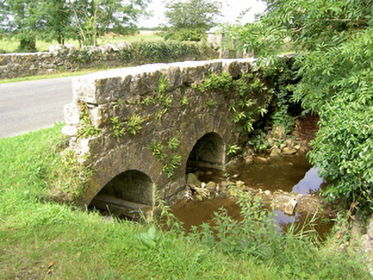 bridgebridge · 442 yd
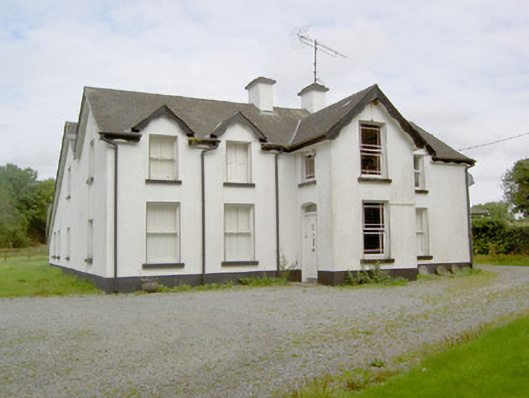 Barry Househouse · 480 yd
 Barry CastleCastle, unclassified · 750 yd
 Enclosure in Barry (shrule By., Ballymahon Ed)Enclosure · 1075 yd
 IndicatedFairy fort / earthen ringfort · 1.0 mi
 Bawn in TirlickeenBawn · 1.1 mi
 Newcastle WoodsForest · 2.6 mi
 Corlea Bog Walk Canal BranchWalking route · 3.0 mi
 Corlea Trackway Interpretative CentreHeritage attraction · 3.3 mi
 European BeechEuropean Beech · 3.5 mi
 Corlea Bog Walk Blue LoopWalking route · 3.6 mi
 Noughaval CemeteryArchaeological place · 4.9 mi