What is recorded here
Fairy fort / stone ringfort in Ballymore West,ballymore East OR Corbally is a fairy fort or stone ringfort in Ballymore West,ballymore East OR Corbally, County Roscommon, Ireland. The D-shaped grass-covered area measures about 24 metres north-south and east-west on an east-facing hill slope. A grass-covered stone spread 2 to 4 metres wide and 0.2 to 0.4 metres high defines the edge, though quarrying removed part at the southeast and a field wall cut through the west. A ring-barrow lies 190 metres to the west-northwest.
On the E-facing slope of a broad hill. D-shaped grass-covered area (dims c. 24m N-S; c. 24m E-W) defined by a grass-covered stone spread (Wth 2-4m; H 0.2-0.4m) which is quarried away at SE and truncated (L c. 15m) by a N-S field wall and townland boundary with Ballymore West at W. Ring-barrow (RO009-009----) is c. 190m to the WNW.
Compiled by: Michael Moore
Date of upload: 24 August 2010
The monument record does not grant public access. Check the route and ask the landowner before entering private land.
- What survives
- Recorded monument
Places near here
 IndicatedFairy fort / earthen ringfort · 980 yd
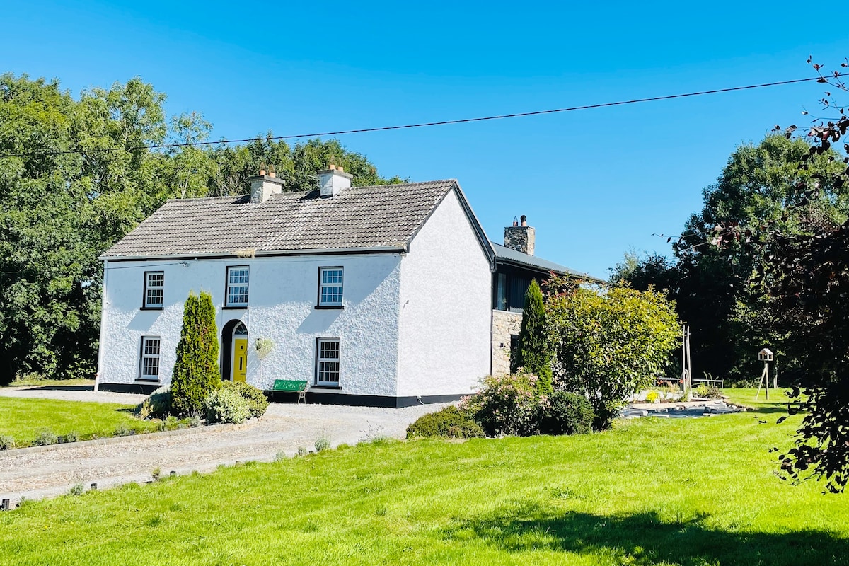 Hut site in Ballymore WestHut site · 1295 yd
 Religious houseReligious house, unclassified · 1.1 mi
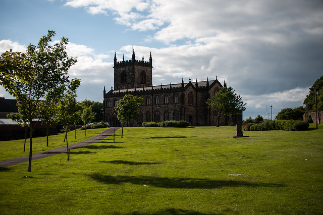 Assylin ChurchChurch · 2.1 mi
 King William MemorialMonument · 2.7 mi
 Boyle AbbeyHeritage attraction · 2.8 mi
 Moylung Castle (in ruins)Castle, unclassified · 3.6 mi
 Battle of Curlew PassMajor battlefield · 4.2 mi
 Battle of the Curlew Mountains (1599)Battlefield · 4.2 mi
 Erris BayBay · 4.2 mi
 Bingham IslandIslet · 4.4 mi
 Rose PointHeadland · 4.4 mi