
What is recorded here
Located on top of a slight rise. This is a grass covered subcircular area (int. dims 22m N-S; 20.8m E-W) defined by a collapsed stone wall (original Wth 1.9m; H 0.4m) at NNE and WSW. Elsewhere it is defined by a scarp (H 0.3-0.4m) with some stones and bushes. There is a local tradition of a Man-made underground passage (LE001-046001-) in the interior but there is no visible evidence of it. Archaeological testing (04E0038) c. 60m to the E at the closest point produced no related material (Henry 2007).
The above description is derived from 'The Archaeological Inventory of County Leitrim' compiled by Michael J. Moore (Dublin: Stationery Office, 2003). In certain instances the entries have been revised and updated in the light of recent research.
Date of upload: 23 September 2008
A fairy fort / stone ringfort in Agharroo is a subcircular early-medieval ringfort, likely dating to between the 5th and 10th centuries AD, characterized by a collapsed stone wall and scarp. Local folklore, common to many such sites in Ireland, associates it with the faé or other supernatural beings.
The monument record does not grant public access. Check the route and ask the landowner before entering private land.
- What survives
- Recorded monument
Places near here
 Bawn in DuncarbryBawn · 1661 yd
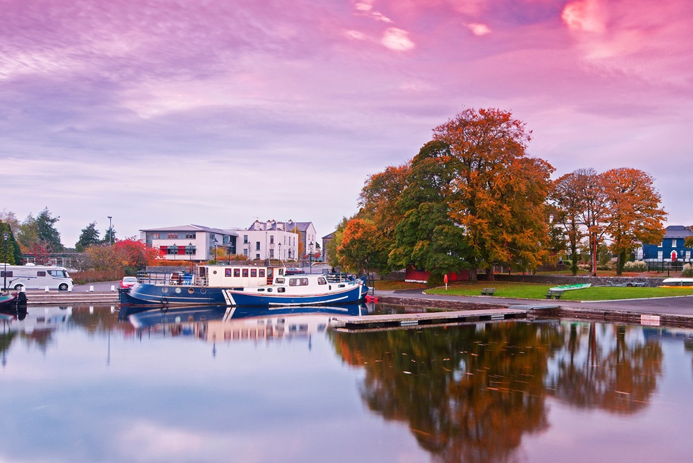 IndicatedFairy fort / stone ringfort · 1681 yd
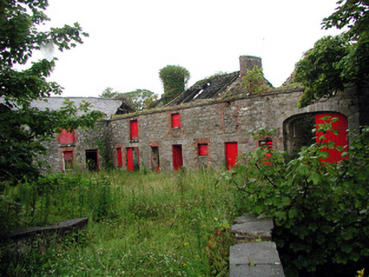 Lodgestables · 1744 yd
 Marshalls WellHoly well · 1.1 mi
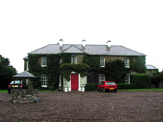 Tullaghan Househouse · 1.2 mi
 Bundrowes Castle (Site of)Castle, unclassified · 1.3 mi
 Giant's GraveArchaeological place · 1.5 mi
 BundoranOfficial bathing water · 2.6 mi
 Wishing ChairHeritage attraction · 3.2 mi
 Fairy BrigesHeritage attraction · 3.2 mi
 Cliffs by BundoranPublicly named cliff or headland · 3.4 mi
 Lareen BayBay · 3.4 mi
Other information
Photo: Credit not shown in the picture search · Rights wording not checked; contact us if this picture should be removed