
What is recorded here
Towards the top of a rise in pasture. Marked only on the 1907 ed. of the OS 6-inch map where it is described in gothic lettering as ‘Marshall’s Well’. It is described as a well which was formerly venerated (Faughnan 1943, file No. 145), and it had a cure for cattle ailments as recorded in the 1930s Schools Manuscript Collection (see this web-page access on 17/12/2015: http://www.duchas.ie/en/cbes/4602728/4598795) However, the well is not now visible at ground level. The area has been planted as a coniferous forest between 2000 and 2005 (OSAP).
The above description is derived from 'The Archaeological Inventory of County Leitrim' compiled by Michael J. Moore (Dublin: Stationery Office, 2003). In certain instances the entries have been revised and updated in the light of recent research.
Date of upload: 23 September 2008
Linked to a local tradition of veneration, Marshalls Well is associated with unspecified healing properties, as indicated by its former status as a site of reverence. The use of the surname "Marshall" may hint at a local saint or lay patron, though no specific folklore or historical records detailing cures or rituals have been preserved.
The monument record does not grant public access. Check the route and ask the landowner before entering private land.
- What survives
- Recorded monument
Places near here
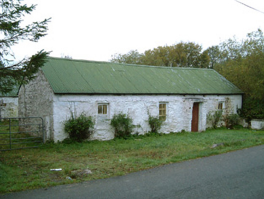 farm housefarm house · 310 yd
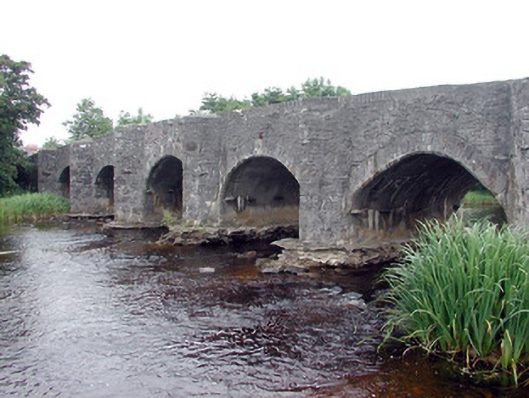 Lennox's Bridgebridge · 1254 yd
 Church (Site of)Church · 1559 yd
 IndicatedFairy fort / stone ringfort · 1575 yd
 Bawn in DuncarbryBawn · 1.5 mi
 Bundrowes Castle (Site of)Castle, unclassified · 1.6 mi
 BundoranOfficial bathing water · 1.9 mi
 Lareen BayBay · 2.4 mi
 Giant's GraveArchaeological place · 2.5 mi
 Wishing ChairHeritage attraction · 2.5 mi
 Fairy BrigesHeritage attraction · 2.5 mi
 Finner Old GraveyardGraveyard · 2.6 mi
Other information
Photo: Credit not shown in the picture search · Rights wording not checked; contact us if this picture should be removed