
What is recorded here
At the SE end of a small ridge. This is an overgrown circular area (int. diam. 28.8m NE-SW) defined by a stone-covered scarp (H 1.65m at NW to 3m at NE) with foundations of the wall visible W-NW. The original entrance is not identified.
The above description is derived from 'The Archaeological Inventory of County Leitrim' compiled by Michael J. Moore (Dublin: Stationery Office, 2003). In certain instances the entries have been revised and updated in the light of recent research.
Date of upload: 23 September 2008
A local fairy fort (ringfort/rath); wider significance not recorded.
The monument record does not grant public access. Check the route and ask the landowner before entering private land.
- What survives
- Recorded monument
Places near here
 Saint Patrick's Catholic Churchchurch/chapel · 484 yd
 Bawn in DuncarbryBawn · 518 yd
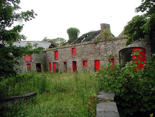 Lodgestables · 540 yd
 Market CrossCross, High cross · 546 yd
 ForyFairy fort / earthen ringfort · 970 yd
 Giant's GraveArchaeological place · 1099 yd
 Bundrowes Castle (Site of)Castle, unclassified · 1377 yd
 BundoranOfficial bathing water · 2.5 mi
 Wishing ChairHeritage attraction · 3.0 mi
 Fairy BrigesHeritage attraction · 3.0 mi
 Cliffs by BundoranPublicly named cliff or headland · 3.3 mi
 Finner Old GraveyardGraveyard · 3.5 mi
Other information
Photo: Credit not shown in the picture search · Rights wording not checked; contact us if this picture should be removed