What is recorded here
Towards the top of a rise close to the sea. This is a recumbent sandstone slab (L 2.38m; dims of base 0.6m x 0.3m) which was once upright in the 1940s (SMR file).
The above description is derived from 'The Archaeological Inventory of County Leitrim' compiled by Michael J. Moore (Dublin: Stationery Office, 2003). In certain instances the entries have been revised and updated in the light of recent research.
Date of upload: 23 September 2008
Likely dating to the Neolithic or Bronze Age, this standing stone may have had ritual or territorial significance. Its original upright position suggests use in a ceremonial or marker context, though specific folklore or function remains unrecorded.
The monument record does not grant public access. Check the route and ask the landowner before entering private land.
- What survives
- Recorded monument
Places near here
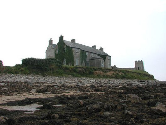 Tynte Lodgecountry house · 67 yd
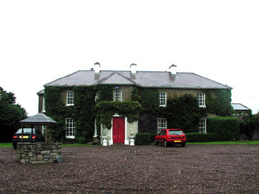 Tullaghan Househouse · 378 yd
 Market CrossCross, High cross · 493 yd
 Bundrowes Castle (Site of)Castle, unclassified · 692 yd
 Enclosure in TullaghanEnclosure · 767 yd
 Bawn in DuncarbryBawn · 777 yd
 Giant's GraveArchaeological place · 1322 yd
 BundoranOfficial bathing water · 2.2 mi
 Wishing ChairHeritage attraction · 2.6 mi
 Fairy BrigesHeritage attraction · 2.6 mi
 Cliffs by BundoranPublicly named cliff or headland · 2.9 mi
 Finner Old GraveyardGraveyard · 3.1 mi