What is recorded here
Situated in a small field of rough pasture which is enclosed by forestry to S, W and N. Depicted on the 1837 ed. OS 6-inch map as an oval-shaped earthwork. Depicted on the revised 1913 ed. OS 25-inch map as a much modified C-shaped earthwork, which is open to ESE. Monument is not visible on Digital Globe aerial photography as it is in the shadow of nearby forestry to S.
Compiled by Alison McQueen, Vera Rahilly and Caimin O’Brien.
Date of upload: 04 November 2019
The monument record does not grant public access. Check the route and ask the landowner before entering private land.
- What survives
- Recorded monument
Places near here
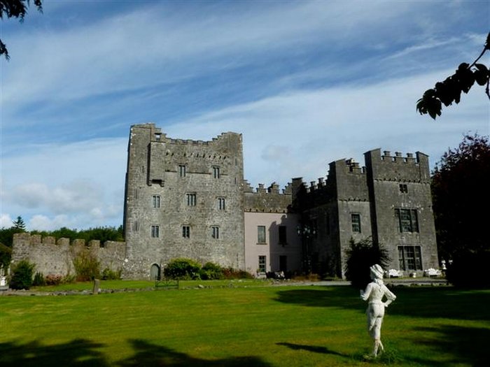 CastleCastle, unclassified · 741 yd
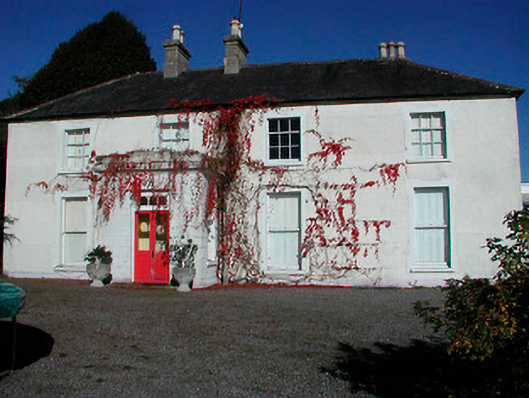 Rathcam Househouse · 785 yd
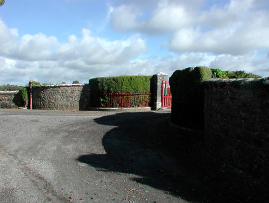 Claremont Housegates/railings/walls · 826 yd
 Site of CastleCastle, unclassified · 1713 yd
 St. Bridgets WellHoly well · 1.6 mi
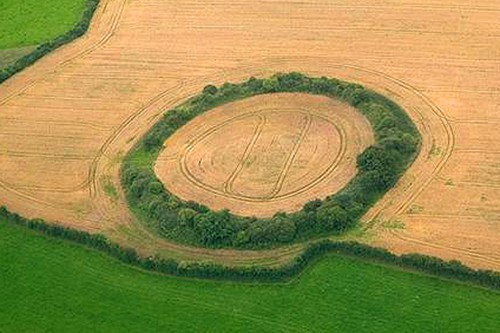 Fairy fort / earthen ringfort in GortumlyFairy fort / earthen ringfort · 2.0 mi
 Derrygreenagh HillMountain / peak · 4.2 mi
 Knockdrin HillMountain / peak · 4.6 mi
 Roundhill WoodForest · 9.1 mi
 Rahin WoodsForest · 9.5 mi
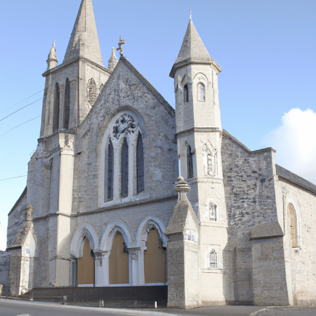 Church in Enniscoffey or CaranChurch · 1092 yd
 milestone/milepostmilestone/milepost · 1747 yd