What is recorded here
Situated on a low ridge running NW-SE, in pasture. Depicted on the 1837 ed. OS 6-inch map as a circular-shaped earthwork (approx. diam. 22m), annotated ‘Fort’ on the 1837 OS Fair Plan. Poorly preserved monument described in 1972 as a much disturbed roughly circular-shaped area (diam. 40m) defined by a bank with traces of an outer fosse. The bank is almost reduced to a scarp and is evident from NNE-E-S-SW and with vague traces from NNW-N-NNE. There are the very slight remains of a fosse from NE-E-S-SW. The perimeter has been removed from SW-W-N-NE. A public road skirts the monument at W. Much of the interior has been quarried away and an entrance to the quarry is cut through the scarp at NNE. Outline of levelled monument is visible today as a roughly circular-shaped cropmark on Digital Globe aerial photography.
Compiled by: Alison McQueen, Vera Rahilly and Caimin O’Brien
Date of upload: 05 July 2019
This remains an important historical record, but the official description says the monument is no longer visible or has been destroyed. The monument record does not grant public access. Check the route and ask the landowner before entering private land.
- What survives
- No visible remains or recorded as destroyed
Places near here
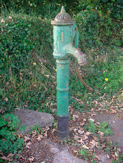 water pumpwater pump · 233 yd
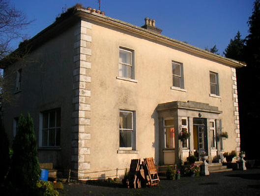 Corbetstown Househouse · 866 yd
 Enclosure in CorbetstownEnclosure · 987 yd
 Man-made underground passage in Higginstown (farbill By.)Man-made underground passage · 1133 yd
 Edmondstown Castle (in Ruins)Castle, tower house · 1.7 mi
 Killagh Ho. & CastleCastle, tower house · 1.9 mi
 GinkgoGinkgo · 2.9 mi
 ScregganWood · 3.8 mi
 Croppies' GraveMemorial · 8.5 mi
 Creggstown Househouse · 1002 yd
 Enclosure in Joristown LowerEnclosure · 1481 yd
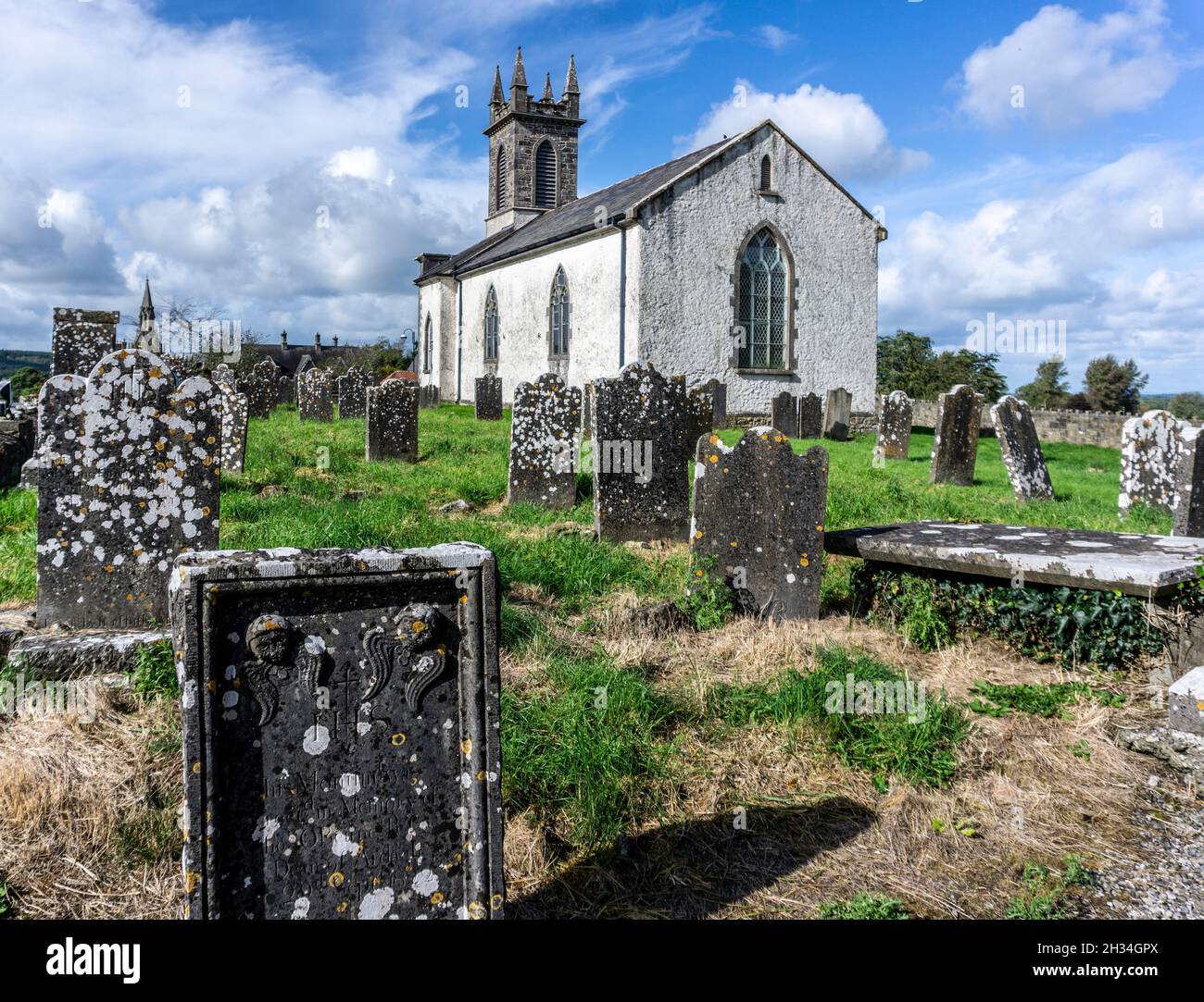 St. Patricks or Scardan WellHoly well · 1484 yd