What is recorded here
Cappanahanagh, a 25m ringfort, vanished from the earth and every map after 1840. It sat west of Boarmanshill beside the Big Man's Grave, visible then, gone now. The pasture rolled over it, erased the stone, kept the shape only in memory.
On rolling pasture W of Boarmanshill. A wedge tomb (LI006-031----) known as ‘Tuamanirvore' or 'The Big Man's Grave' is located 200m to the NW. Depicted on the 1840 ed. OS 6-inch map as a circular enclosure. It is not indicated on subsequent OS maps. The enclosure is likely to have been a ringfort (approx. diam. 25m). No surface trace of the monument is visible from Digital Globe orthophotos taken 2011-13 or on the Google Earth orthoimage taken 28/06/2018.
See attached Google Earth orthoimage
Compiled by: Edmond O’Donovan
Date of upload: 22 July 2020
The monument record does not grant public access. Check the route and ask the landowner before entering private land.
- What survives
- Recorded monument
Places near here
 TuamanirvoreWedge tomb · 201 yd
 Killeen Burial GroundChildren's burial ground · 842 yd
 Ashroe Househouse · 1027 yd
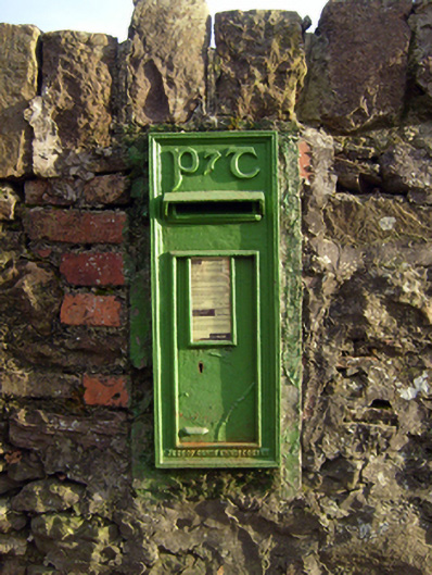 post boxpost box · 1166 yd
 IndicatedCastle, unclassified · 1.3 mi
 Sliev Felim WayVisitor information · 1.8 mi
 Site of Derryleigh CastleCastle, unclassified · 2.4 mi
 Graveyard in AbingtonGraveyard · 2.9 mi
 Slieve Felim WayWalking route · 3.6 mi
 Slieve FelimMountain / peak · 4.5 mi
 Jackie PowerMemorial · 4.8 mi
 The Pollagh TrailNature reserve · 6.9 mi