What is recorded here
Ivor Kenny first identified the hidden ringfort in Wyanstown when shadow and light revealed its oval shape above the fields. The fort holds a smaller chamber inside its own wall, like a room built within a room, while an unnamed stream still moves a short distance away. The fairies may have borrowed the shape of human fear and turned it into a place where visibility itself becomes uncertain.
Situated on a gentle NE-facing slope with a small NW-SE stream c. 100m to the NE. The cropmark of an oval enclosure (dims c. 55m NNE-SSW; c. 35-40m WNW-ESSE) defined by a complete and substantial ditch feature (Wth c. 3-5m) is visible on the OSI series of aerial photographs (1995). There is a smaller ditch visible outside it S-W-NNW, which would have been on the outer side of a field bank, and in the interior a smaller D-shaped enclosure (dims c. 40m NE-SW; c. 30m NW-SE)is visible defined by a lighter fosse feature, but the straight side at NW is formed by the cropmark of a drain which was associated with a field bank that is marked on the 25-inch map (1907). There is no visible entrance gap in the fosse. The enclosure was first identified by Ivor Kenny.
See the attached view from Map Genie (1995)
Compiled by: Michael Moore
Date of upload: 19 December, 2014
The monument record does not grant public access. Check the route and ask the landowner before entering private land.
- What survives
- Recorded monument
Places near here
 Sally Cottagehouse · 901 yd
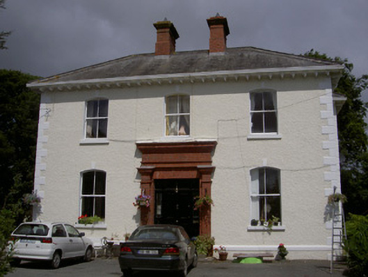 Wyanstown Housepresbytery/parochial/curate's house · 909 yd
 Enclosure in MartinstownEnclosure · 1423 yd
 Enclosure in DraghanstownEnclosure · 1540 yd
 IndicatedCastle, tower house · 1.1 mi
 Tullydonnell HillMountain / peak · 2.1 mi
 CastleCastle, unclassified · 2.1 mi
 Graveyard in DysartGraveyard · 2.2 mi
 Sweet baySweet bay · 2.5 mi
 Moneyveg WoodForest · 2.5 mi
 Chapel (in Ruins), GraveyardChurch · 3.5 mi
 Drummeenagh HillMountain / peak · 5.4 mi