
What is recorded here
Situated on a N-facing slope. The cropmark of a D-shaped area (dim c. 40m NW-SE; c. 35m NE-SW) defined by a slight fosse is visible on Google Earth (21/07/2021). The straight side (L c. 25m) is at SW, and it is cut by a WNW-ESE field drain from the field system that is depicted on the 1835 and 1907 editions of the OS 6-inch map. It is also faintly visible on Digital Globe (2011-13), and it was first reported by Jean Charles Caillére.
See the attached enhanced view from Google Earth (21/07/2021)
Compiled by: Michael Moore
Date of upload: 22 October 2021
The monument record does not grant public access. Check the route and ask the landowner before entering private land.
- What survives
- Recorded monument
Places near here
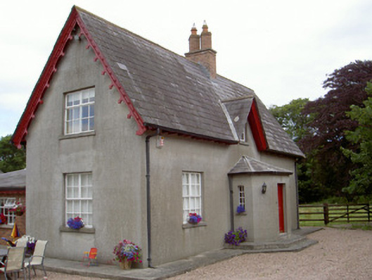 Dunany Cottagehouse · 518 yd
 Church of Saint John the Baptist (Dunany)church/chapel · 1044 yd
 Enclosure in MitchellstownEnclosure · 1.0 mi
 Enclosure in PortEnclosure · 1.1 mi
 IndicatedCastle, tower house · 1.9 mi
 Tullydonnell HillMountain / peak · 2.9 mi
 Graveyard in DysartGraveyard · 3.0 mi
 Moneyveg WoodForest · 3.2 mi
 BarmeathCastle, tower house · 3.3 mi
 Sweet baySweet bay · 3.3 mi
 Chapel (in Ruins), GraveyardChurch · 4.2 mi
 Drummeenagh HillMountain / peak · 5.9 mi
Other information
Photo: Credit not shown in the picture search · Rights wording not checked; contact us if this picture should be removed