What is recorded here
Magic and myth belong to every culture. What is remarkable is how often they point to the same things: consciousness, memory, imagination, and the hidden structures of life.
In pasture. Circular area (diam. 32.5m) defined by earthen bank (int. H 1.55m) with external fosse (D 0.55m). Entrance to SW. According to Hartnett (1939, 260) 'there were originally two ramparts enclosing the fort, but the outer one was levelled about 30 years ago. A section of it still remains to the west'. No visible surface trace of outer rampart. Possible Man-made underground passage (9123) in interior.
The above description is derived from the published 'Archaeological Inventory of County Cork. Volume 3: Mid Cork' (Dublin: Stationery Office, 1997). In certain instances the entries have been revised and updated in the light of recent research.
Date of upload/revision: 14 January 2009
The monument record does not grant public access. Check the route and ask the landowner before entering private land.
- What survives
- Recorded monument
Places near here
 KilnKiln, lime · 1429 yd
 Site of Burial GroundBurial ground · 1662 yd
 Grange HillMountain / peak · 1.1 mi
 Charlie Hurley MemorialMemorial · 1.3 mi
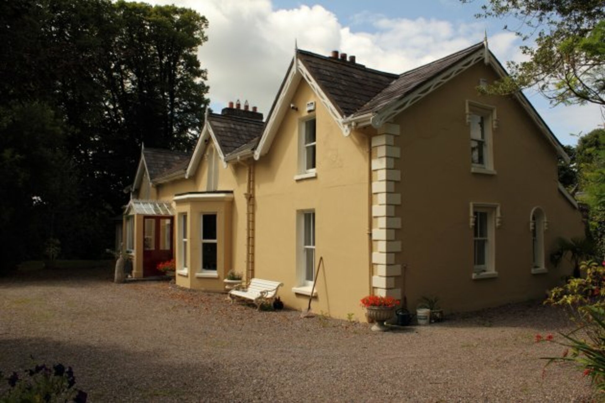 Man-made underground passage in KillumneyMan-made underground passage · 1.5 mi
 Garranewaterig Schoolschool · 1.6 mi
 Ballyburden Castle (Site of)Castle, unclassified · 1.7 mi
 Graveyard in Carrigane (muskerry East By.)Graveyard · 2.2 mi
 Corbally Montessori & Early Years' Pre-schoolVisitor information · 2.4 mi
 Ballincollig CastleCastle · 2.6 mi
 Cave in Ballincollig (muskerry East By., Carrigrohane Par.)Cave · 2.6 mi
 waterfallVisitor information · 3.4 mi