What is recorded here
Under the modern road in Whiterath, a forty-one-metre circular ditch still curves through the earth. People built and rebuilt that boundary across centuries, leaving behind iron knives, ring pins, medieval pottery and a polished stone axehead. The fairies keep the fort closed, but human hands shaped every ridge and depression inside the ring.
Discovered prior to road construction (Excavation Licence 99E0485). Three sections of ditches (one on E side, one on W side and one in between two) were excavated. A geophysical survey showed that the eastern and western ditch were part of the same circular enclosure (with a diam. of 41m). The excavator suggested that the ditches may represent phases in the construction of a ringfort. A large number of finds were recovered including ring pins, iron knives, Man-made underground passage ware and medieval pottery, a polished stone axehead, iron hooks, an iron reaping hook, industrial slag and a large quantity of animal bone. Remains of a Man-made underground passage (LH012-065002-) were also uncovered. (Ó Drisceoil 2002, 244)
Ó Drisceoil, C. 2002 Site 2, Whiterath in I. Bennett (ed.), Excavations 2000: summary accounts of archaeological excavations in Ireland, 244 (No. 721). Bray. Wordwell.
Compiled by: Claire Breen
Date of upload: 19 April 2012
The monument record does not grant public access. Check the route and ask the landowner before entering private land.
- What survives
- Recorded monument
Places near here
 Enclosure in WhiterathEnclosure · 313 yd
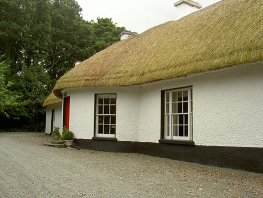 Whiterath Cottagehouse · 337 yd
 Field system in Commons (dromiskin Par.)Field system · 725 yd
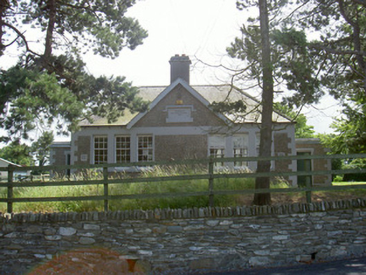 Dromiskin National Schoolschool · 774 yd
 Viking BoatHeritage attraction · 1198 yd
 CastleCastle, unclassified · 1375 yd
 Drummeenagh HillMountain / peak · 1.6 mi
 Long WoodForest · 1.9 mi
 Broad WoodForest · 2.0 mi
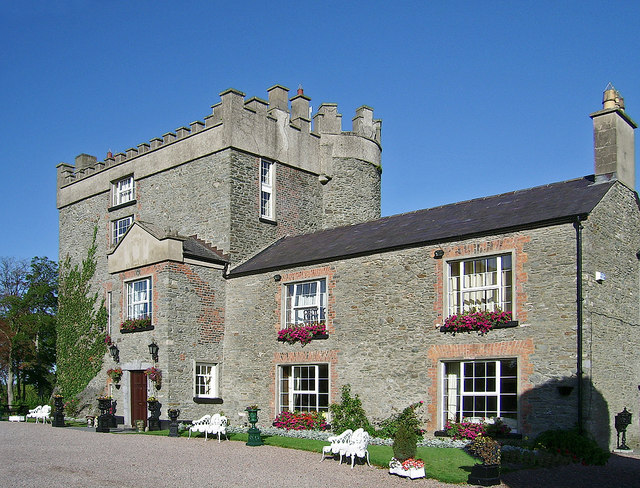 Bawn in DarverBawn · 2.1 mi
 BallybarrackMountain / peak · 4.0 mi
 Graveyard in Richardstown (ardee By., Richardstown Par.)Graveyard · 5.2 mi