
What is recorded here
Aerial photograph (GB89.G.17) shows cropmark of a curvilinear enclosure defined by a fosse.
Compiled by: Dr Gillian Barrett for the Archaeological Survey of Ireland.
Date of upload: 10 June 2009
The monument record does not grant public access. Check the route and ask the landowner before entering private land.
- What survives
- Recorded monument
Places near here
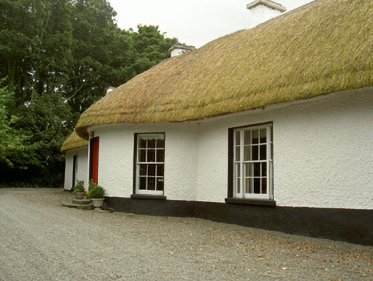 Whiterath Cottagehouse · 194 yd
 Field system in Commons (dromiskin Par.)Field system · 633 yd
 CastleCastle, tower house · 967 yd
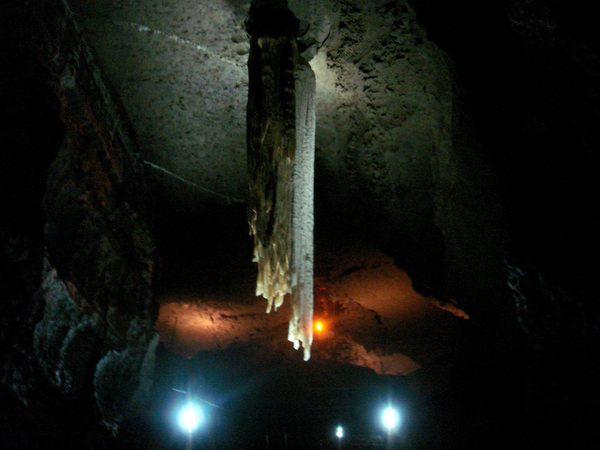 Cave (Site of)Man-made underground passage · 1056 yd
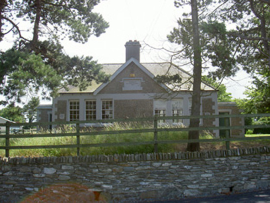 Dromiskin National Schoolschool · 1061 yd
 Viking BoatHeritage attraction · 1509 yd
 Drummeenagh HillMountain / peak · 1.8 mi
 Long WoodForest · 1.9 mi
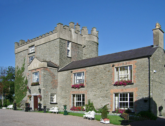 Bawn in DarverBawn · 1.9 mi
 Broad WoodForest · 2.0 mi
 BallybarrackMountain / peak · 3.9 mi
 Graveyard in Richardstown (ardee By., Richardstown Par.)Graveyard · 5.2 mi
Other information
Photo: Credit not shown in the picture search · Rights wording not checked; contact us if this picture should be removed